Tue 2 – Fri 5 May 2017
- Km walked: 114
- Total Km: 1838
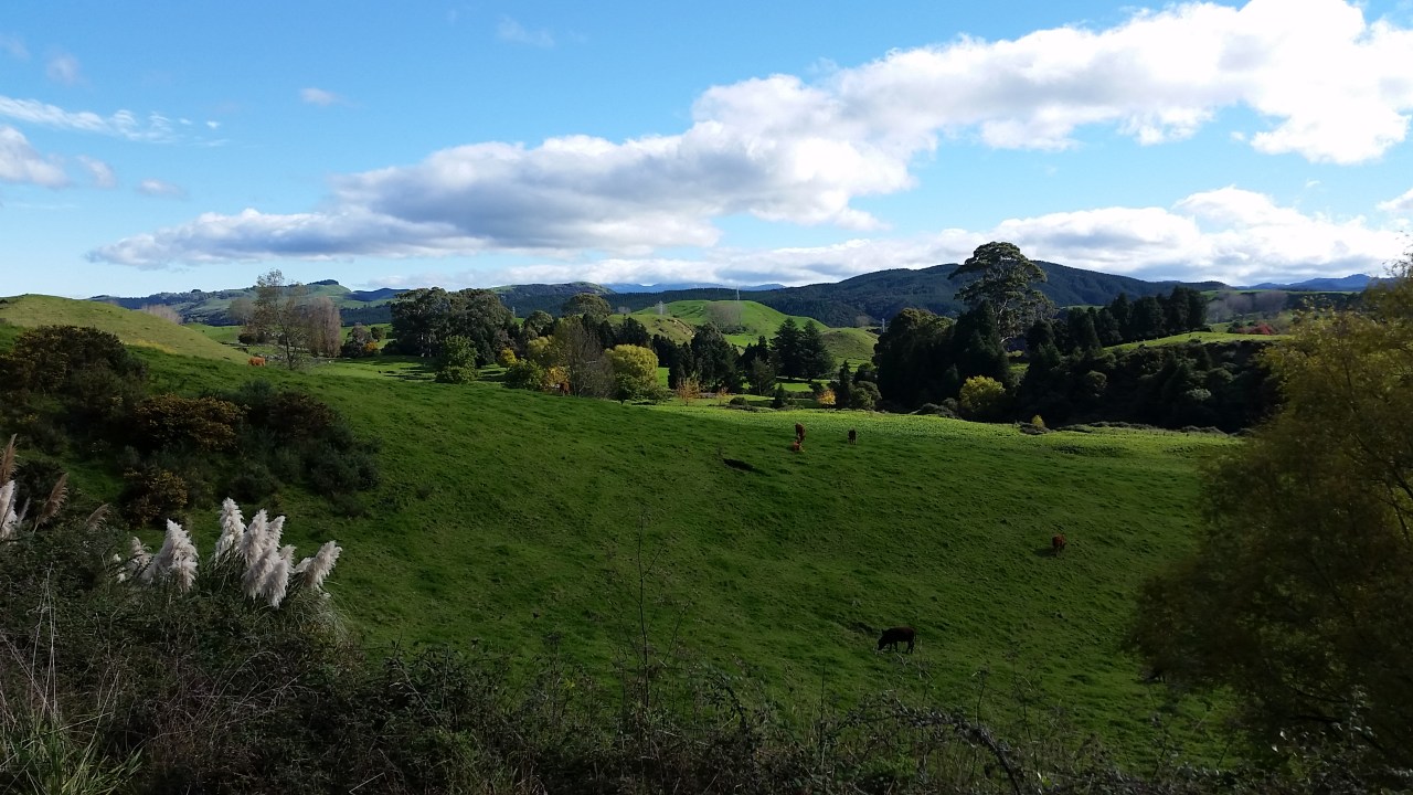
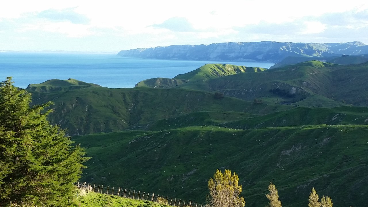
From Napier I want to make my way north to Te Urewera national park, the location of Lake Waikaremoana to do the great walk – it has been a must-do destination from the very first stage of planning my journey back in December last year. The most obvious route is to follow state highway 2 as far north as Wairoa and then turning inland towards Te Urewera. However, from driving this route in the past, I remember that the road is winding and likely to be inhospitable for walking. Also with the closure of the Napier – Gisborne railway line five years ago, the number of trucks barreling along the road has increased many-fold. Maybe there was a coastal route through to Wairoa instead? Walking along the beaches and farmland that arc north east from Napier towards the Mahia peninsula. I dropped by the friendly staff at the DOC office in Napier to get information on possible tracks and to determine if there would be local land owners along the way who would allow a walker to traverse their land. It did seem possible to skirt the coastline as far as the Mohaka river mouth, but actual information about the journey and conditions was sketchy. It is suggested that it would need to be walked at low tide as the surf comes right to the cliffs otherwise. Above Mohaka we weren’t sure what the coastal landscape entailed through until Wairoa. I was not that happy about the lack of a route that I could at least formulate in my mind and the obstacles were mounting. I needed another option to consider. In the back of my mind there was a glimmer of a possibility. You see, Brando “Wildboy” Yelavich had walked part of the Napier – Gisborne railway line when he circumnavigated the coastline of New Zealand by foot and I thought just maybe I could do the same. After all the railway line is still disused to this day – there is no rail traffic and even better there are no hazardous road vehicles to contend with. It suddenly seemed to be the obvious choice and the best way to get through to Wairoa. Donna had expressed concern about the traffic on highway 2 and was relieved when I decided that this would be my route up the coast.
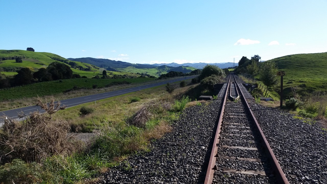
The Napier – Gisborne railway line pulls away into the countryside from the vineyards of the Eskdale flats just north of Napier and immediately begins a gradual climb through the steep farmland alongside the Esk river. When driving the Napier Taupo highway I had wondered where the railway line disappeared at Eskdale and now was my chance to follow its route through to Wairoa. I was slightly concerned that I may be accosted by railway staff – the fine for trespassing on railway lines is exorbitant however there are no trains running on the line since it closed so fortunately I’m not anticipating a locomotive bearing down on me. There was evidence of someone clearing the side of the track recently, although I only encountered herds of goats which weren’t in the least possessive of their iron beds. No one who I met along the way ever expressed any concern about walking the railway line and in fact most wanted to give it a go too. There was not much track side activity along the way so it was pleasant just strolling the rails in the sun, scaring the goats, traversing the tunnels and enjoying the sights and sounds of this area in the knowledge that not many people will have experienced it in this same manner.
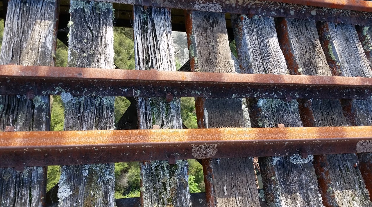
I’d have to say though that walking along railway tracks is actually not that easy. Railway sleepers (timber rectangular supports underneath the rails), I soon found out, are inconveniently spaced for my usual stride. To stand on every consecutive sleeper results in an inefficient and annoying shuffle, yet to stand on every second sleeper was slightly beyond my normal stride length and would require jumping rather than walking. I was not going to jump for over 100km. The resulting walk is thus both on the sleepers and on the ballast that supports the sleepers. Curves were easier to walk along however as the distance between the sleepers lessens or increases on either side of the curve and would match my stride length. I also discovered that different sized ballast is used, most of which is okay for walking upon but some is formed from larger coarse rock which is quite difficult to negotiate and I would fear a twisted ankle. The ballast would sometimes cover the sleepers entirely and there would be no option but to walk on this gravel until the sleepers re-emerged. The line climbs gently and continuously alongside the Eskdale forest and through the Esk forest until emerging onto agricultural land at Waikoau. I was pleased that there were no logging operations in the forests. One, because there was no man made noise but also because after trees have been felled its renders the landscape brutally scalped. I far preferred my amble through the whispering audience of these exotic forests accompanied by swooping chattering fantails, tui song and catching the odour of feral goats long before I spot them.
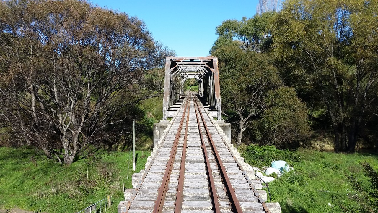
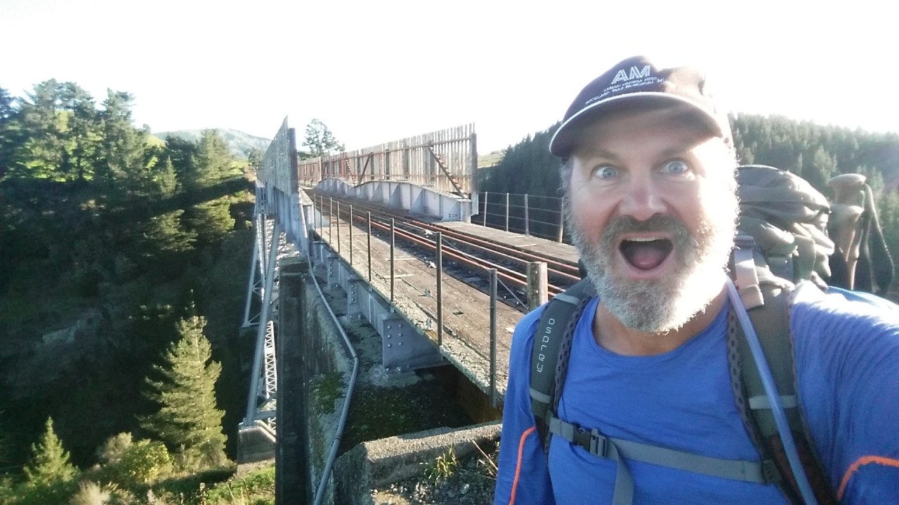
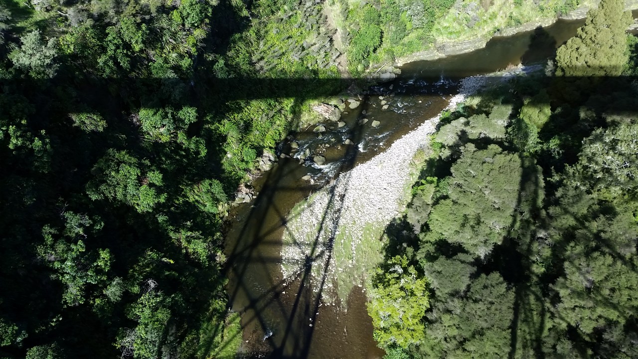
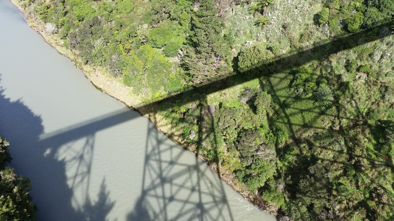
There were three tunnels on the first day; I had my headlight around my neck in case they were too long to hold light. Tyre tread marks in the compacted mud of the tunnel floor most likely indicate farmers taking a short cut to get across their farm. As I was nearing Tutira I had my first introduction to crossing a viaduct. The Waikoau viaduct is 150m long and stands 72m above the river from which it bears its name. Built in 1928 it is a steel latticed box girder which stands on two concrete plinths. I admit that I approached this first viaduct with trepidation. For a start its blim’n high and I reckon it hasn’t had much care for the last 5 years – just how rotten would the timbers be? I’m thinking “Its been here for 89 years. That’s more than enough time for it to rust enough to collapse into the gorge below as I’m crossing it.” Despite my preposterous fears there is only one way to go and that is across, so I take my first ginger steps. The viaduct has a timber boardwalk on either side of the tracks which run the length of the bridge. Some of the timber looks dubious but there are plenty of places to plant the feet securely. There is timber fencing on either side which promotes the feeling of slightly more concern for my safety. Nevertheless once standing at the mid point of the viaduct I am not particularly enjoying the experience and am relieved when I get back onto terra firma.
The shadows were lengthening across the paddocks and it was starting to chill – time to look for somewhere to pitch the tent. No where was really appealing, until I reached a road bridge which crossed over the railway line. I noticed on my GPS app that there was a school nearby and schools always have flat ground for fields – perfect for a tent I reckon. I was very fortunate that the Principal Lynne was still working at school after hours and this was to begin the start of my school visits. You see, Lynne very cleverly granted my request for a tent spot with an agreement that I would address the school kids the next morning. It was a deal I was happy to accept. For the next three days I walked from school to school and was accommodated onsite or with local families. Each morning I would speak to the next group of school kids about my walk, St John. The highlight for the kids was undoubtedly the opportunity to lift or carry my pack which was weighing in, with food and water, around 17kgs.
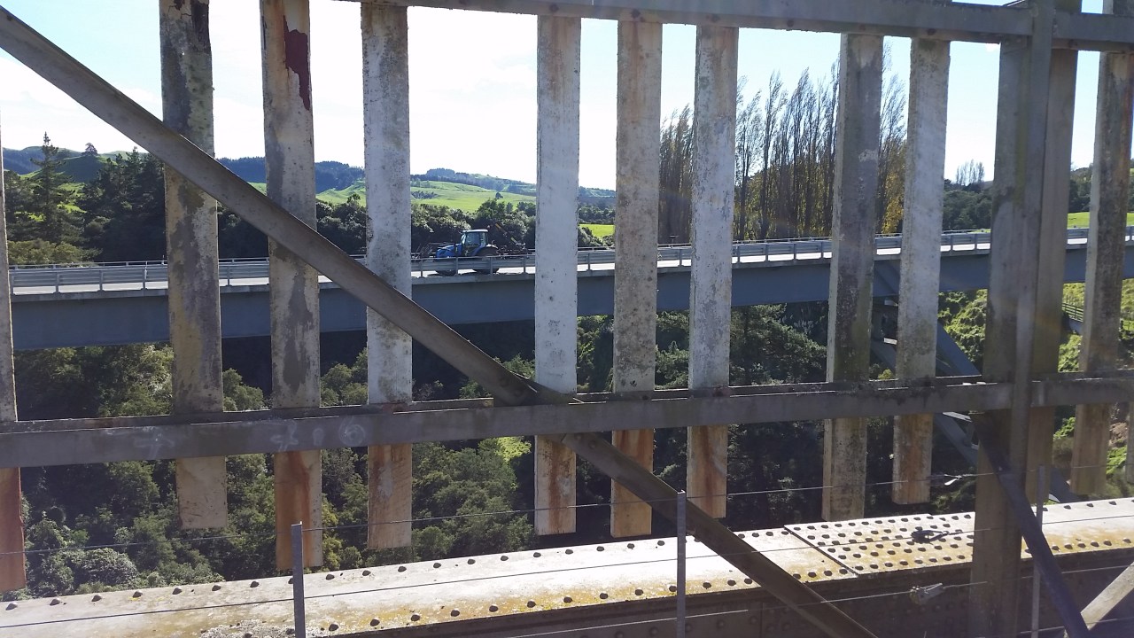
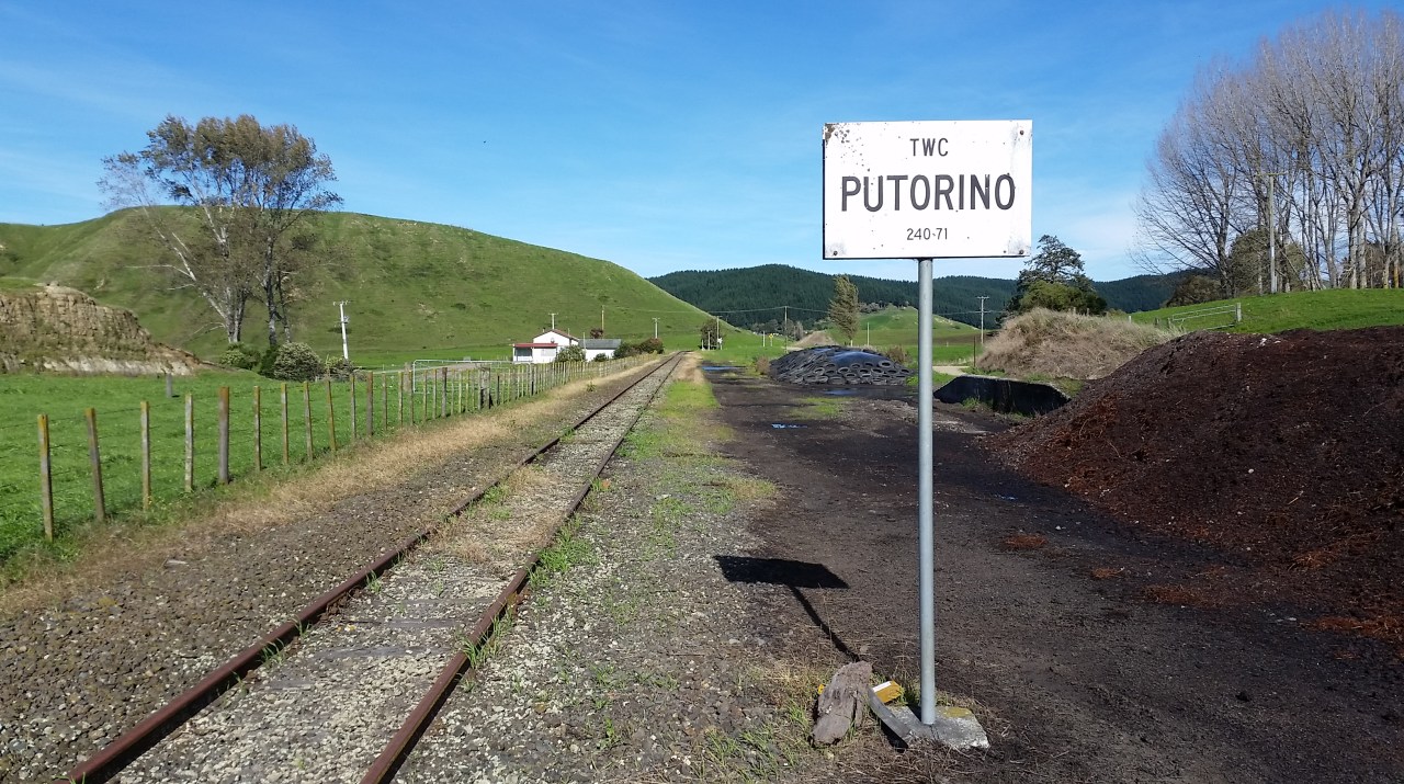
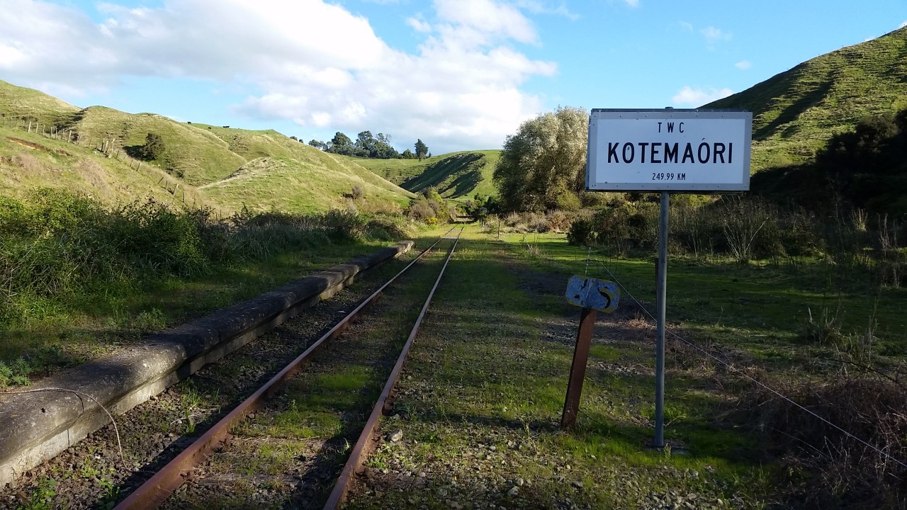
From Tutira I rejoined the tracks and before look reach the Tutira viaduct. All sense of fear had now evaporated like the dew off the paddocks in the rising heat of the morning. I could stride across the viaduct, look over the sides or through the gaps in the sleeper floor to the river hundreds of feet below. I did however always keep a firm grip on my phone which I was using for all my photographs. Two hands even. There were three viaducts to cross today; Tutira, Matahorua and Waikare. Each an impressive testament to the engineers and builders of the 1920’s. And prior to arriving at Kotemaori I traversed the Kotemaori tunnel, the longest on the Napier Wairoa section of the line. The tunnel travels beneath the property of the Haliburton family who still farm the land today. Its interior was cool and dark, water dripping from the ceiling and running along a channel on the left hand side. I’m pleased to have done it but otherwise my anticipation of walking tunnels had been satisfied. The highlight of the trip was to be crossing the mighty Mohaka viaduct. The line snaked through the flat farmland approaching the Mohaka river valley. I knew I was close by but due to a series of curves in the line prior, the viaduct is not revealed until the last minute. Suddenly the land drops away, the state highway passing underneath and the viaduct strides across the river gorge. On the Raupunga side of the gorge my guard came up. I had been warned repeatedly (by almost everyone I met between Napier and here) about the dangers of Raupunga, home to some unsavory characters. Apparently the worst offenders were now back in jail, knowledge which provided some comfort as I walked quickly along the railway line – which of course runs smack bang through the middle of Raupunga. A man appeared from a paddock with a long implement in hand and I thought “oh no here we go” but he just said hello and went into a paddock opposite. He had one of those measuring wheels, like a surveyors wheel so I’m not sure what his purpose was but at least it didn’t involve me. So I had made it safely through notorious Raupunga albeit without any photos due to my haste. Soon after crossing the Mangaturanga viaduct I left the railway line and walked down into Mohaka, arriving at the school just as the kids were finishing for the day. I received an overwhelmingly friendly welcome from the kids when I arrived and this certainly set the standard for my overnight in Mohaka with a lovely local family and the quality of the school faculty. The next day I walked through to Wairoa, arriving in the afternoon. I had arranged to visit the St John station and there was the possibility that I might be able to stay overnight. At that point I wasn’t sure whether I would stay the night or continue towards Waikaremoana. Fate intervened when I found myself beside the office of the Wairoa Star, the community newspaper. I thought they might like to cover my walk and before long I was being interviewed by a reporter. This led to a generous offer from another reporter with accommodation for the night. The St John station in Wairoa is situated in the grounds of the hospital. An idyllic spot with flowing grass lawns and plenty of bountiful fruit trees. The St John members were as equally welcoming as anyone of the east coast and I thoroughly enjoyed an afternoon with them. As always I am astounded by the passion, devotion and commitment that all St John staff and volunteers possess.
The first railway bridge at Willowbank

Grasses and manuka as the line climbs the Esk river valley looking towards the Kaiwekas
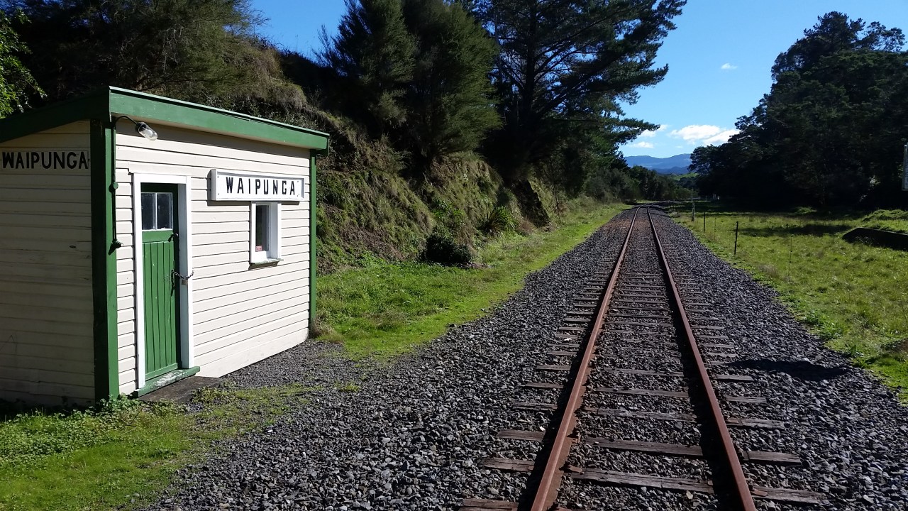
The gangers hut at Waipunga
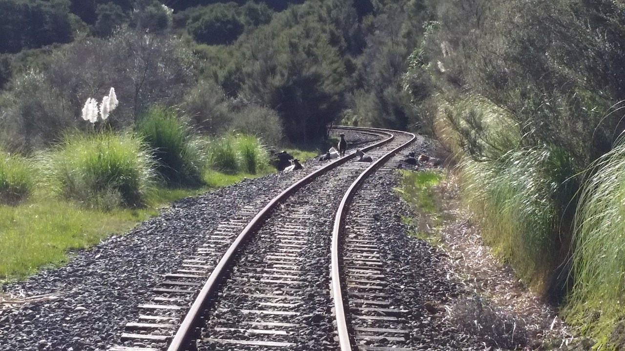
Another herd of goats

Entering the first tunnel – I think it was called #6
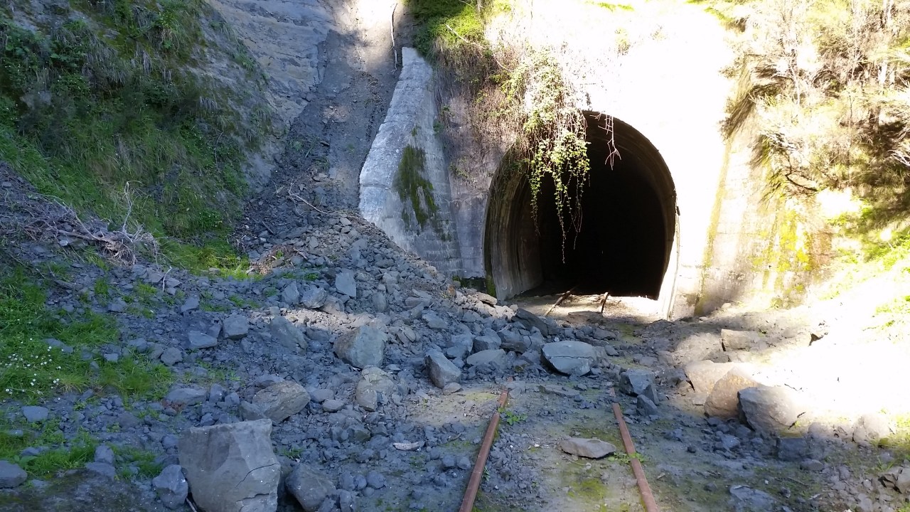
Rock fall outside one of the tunnels

More work to be done before the line reopens

The line meanders through forestry for much of the climb to Waikoau
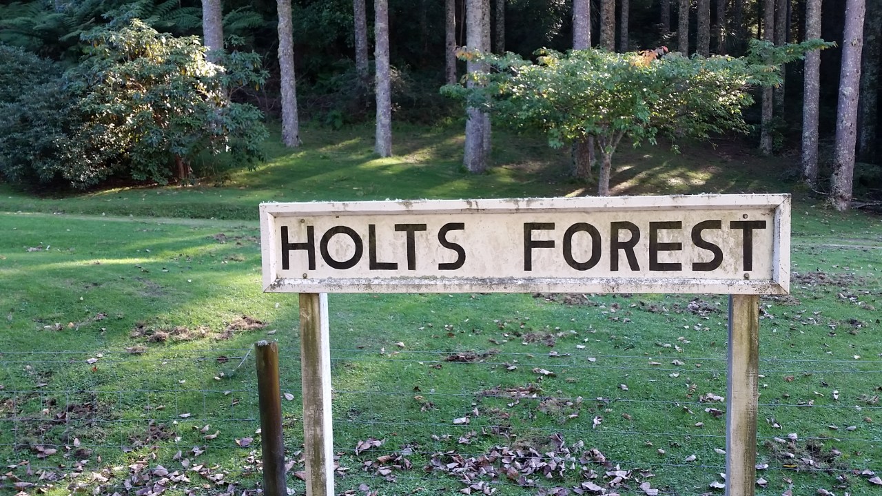

Harold & Dorothy Holt planted over 500 species of trees, shrubs, ferns and flowering plants over 45 years then gifted it to the people of New Zealand

There were many of these metal cylinders. They may be thermite welding pots?

Easy countryside just out of Waikoau

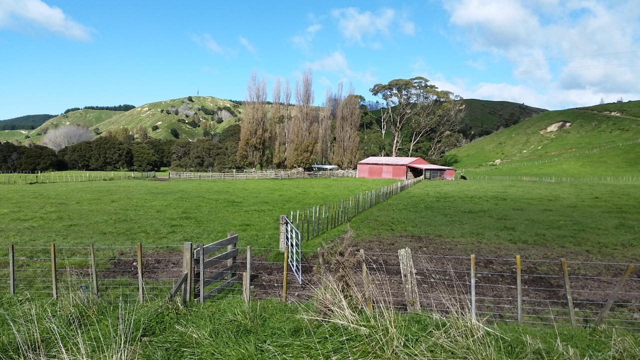
Bucolic farmland with Darkys Spur in the background

Still waiting for the train
My first viaduct – Waikoau (490 feet long, 235 feet high)

Waikoau river from the viaduct

My first school talk. Me and the kids at Tutira School

Tutira Viaduct


Calves sheltering from the sun
Matahorua Viaduct looking across to the road bridge (450 feet long, 200 feet high)

A gradient plate at the bottom of a curve. This was the only one I saw on 4 days walking the line.

Wild bee nests under the road overbridge. I only noticed them after I had already walked underneath.
Waikare viaduct (610 feet long, 255 feet high)
Waikare Viaduct


Kotemaori tunnel (2,700 feet long). The longest on the line.

Small but enthusiastic – Kotemaori School
Feeling exposed alongside the road
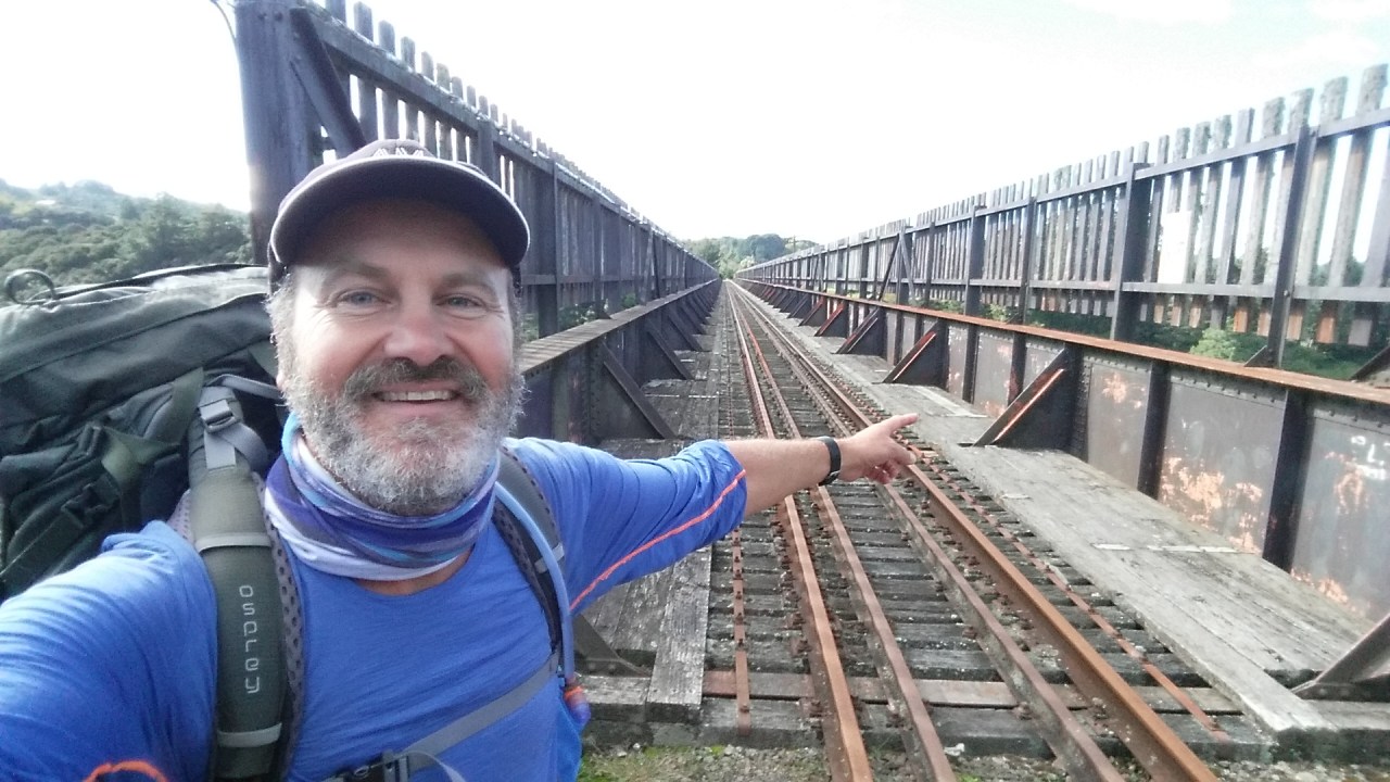
The Mohaka Viaduct is an immense structure. Undoubtedly it is the highlight of the East Coast Railway, a credit to New Zealand engineers and workmen. Rearing 315 feet above the riverbed, it is the highest in the Southern Hemisphere. It is 911 feet long and contains 1,900 tons of steel.

Not advisable for those who are afraid of heights
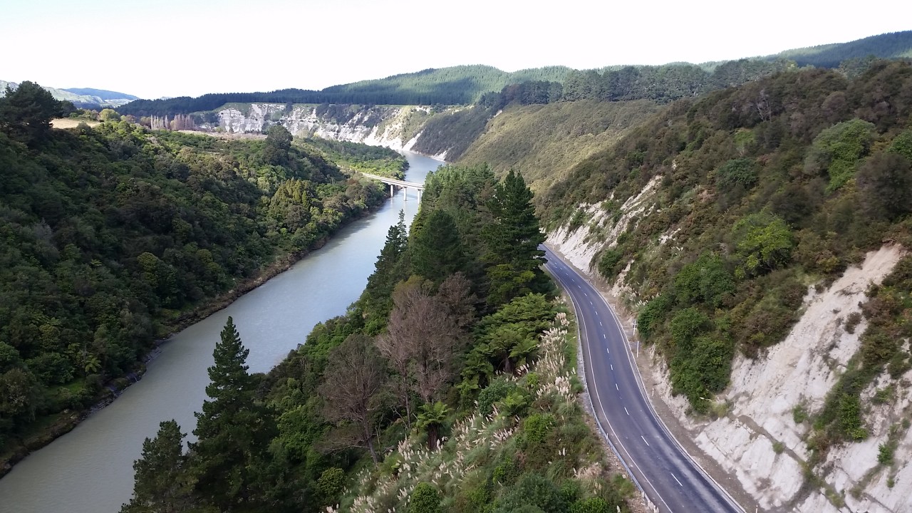
State highway 2 runs underneath the Mohaka viaduct and crosses the Mohaka river over its less impressive bridge
Its a long way down to the grey waters of the Mohaka river

Raupunga cemetery with Mohaka viaduct behind. No workers died in the construction of the viaduct however a few have managed to end up in the river below since.

Harvesting maize at Raupunga

Maungaturanga Viaduct – peering gingerly over the side

Maungaturanga Viaduct – watching my step along the boardwalk

Maungaturanga Viaduct (800 feet long, 220 feet high)
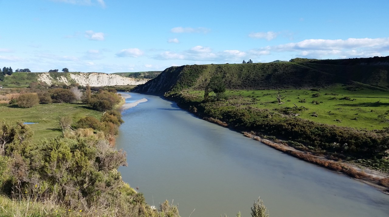
The Mohaka river approaching the Mohaka settlement

Free range horses
Fantastic views from Waiotia Station

The fabulous kids at Mohaka school

Beauty School..?

Bush crashing near Waihua
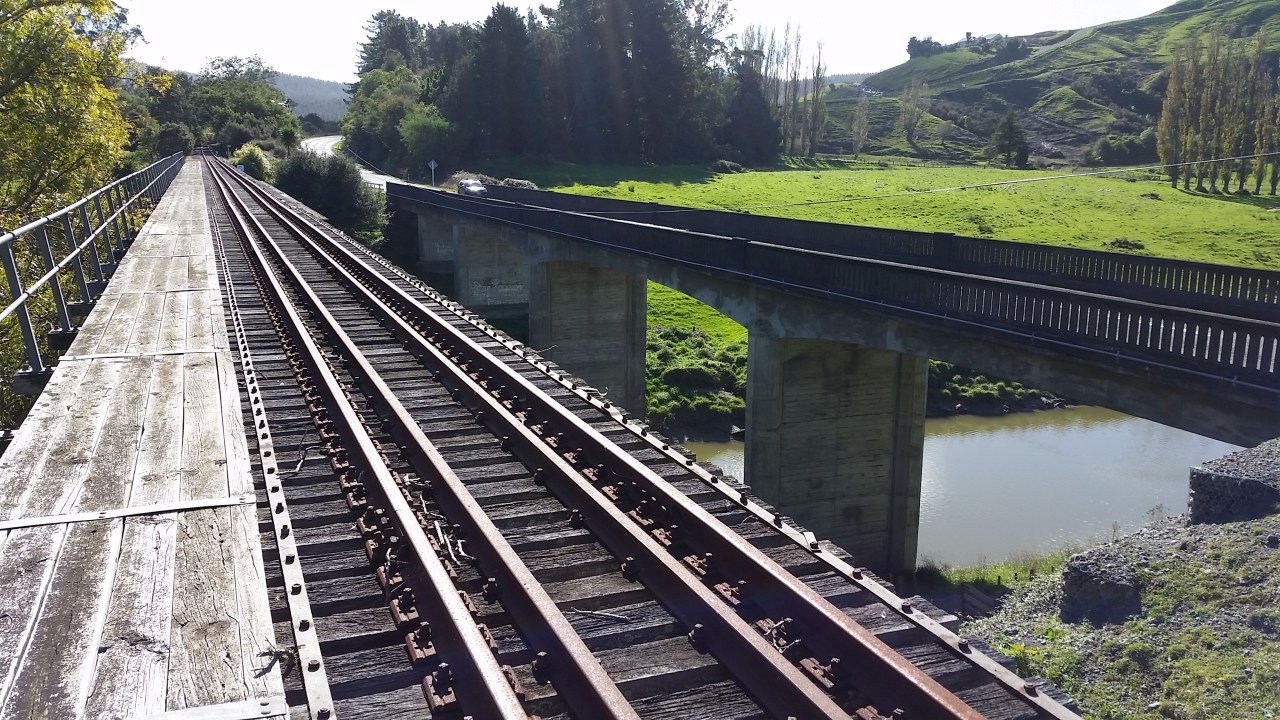
Rail and road bridges at Waihua

The Portland Island lighthouse in Wairoa
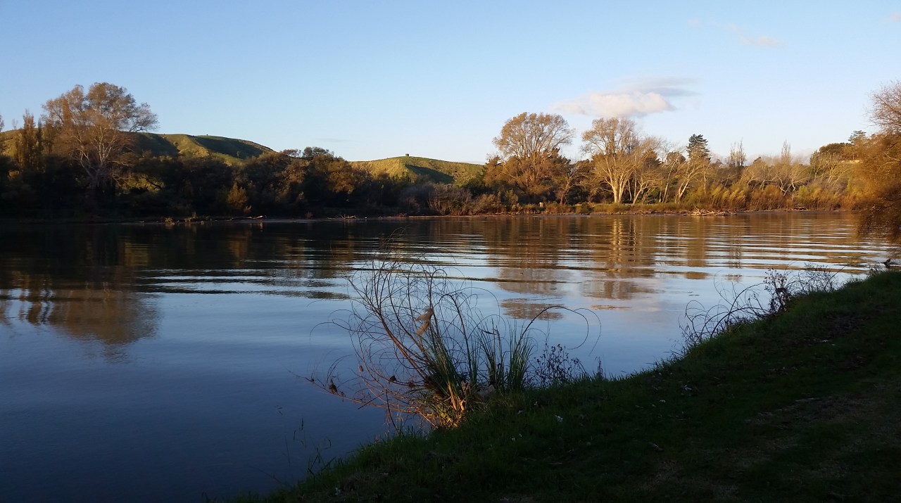
Wairoa river
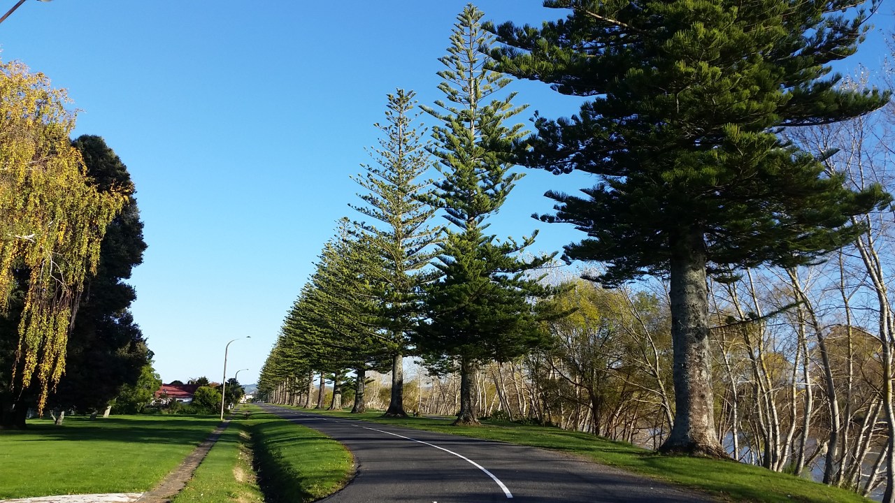
Norfolk palms – 50 were originally planted alongside the river

St Andrews Presbyterian Wairoa

St Peters Catholic Wairoa

Impressive Art Deco – St Pauls Anglican Wairoa

The 1915 New Wairoa Hotel

Wairoa St John station

Gary, Mark, Kevin, Me – St John Wairoa Station

Best place to stay in Wairoa Friendly Riverside


Leave a comment