Fri 11 December – Day 27
23 km
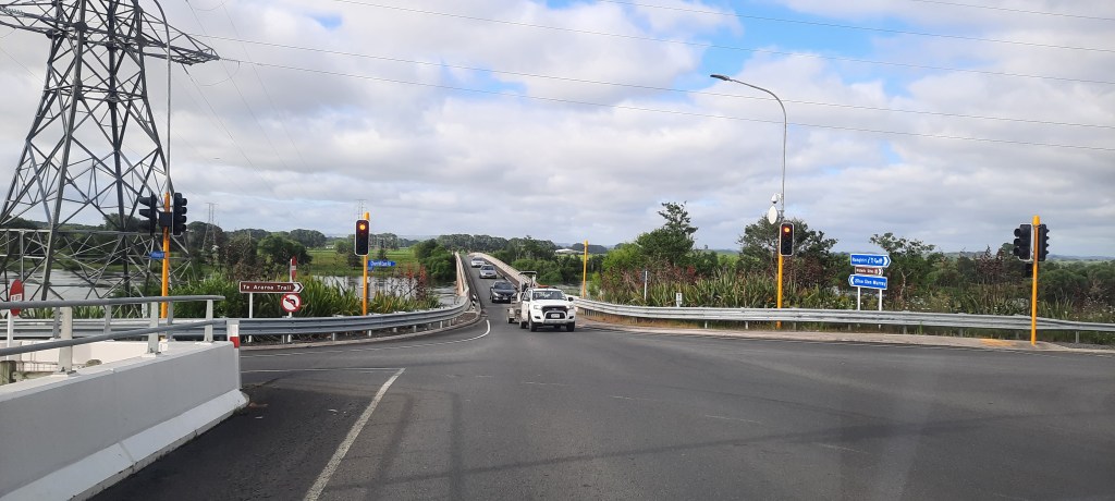
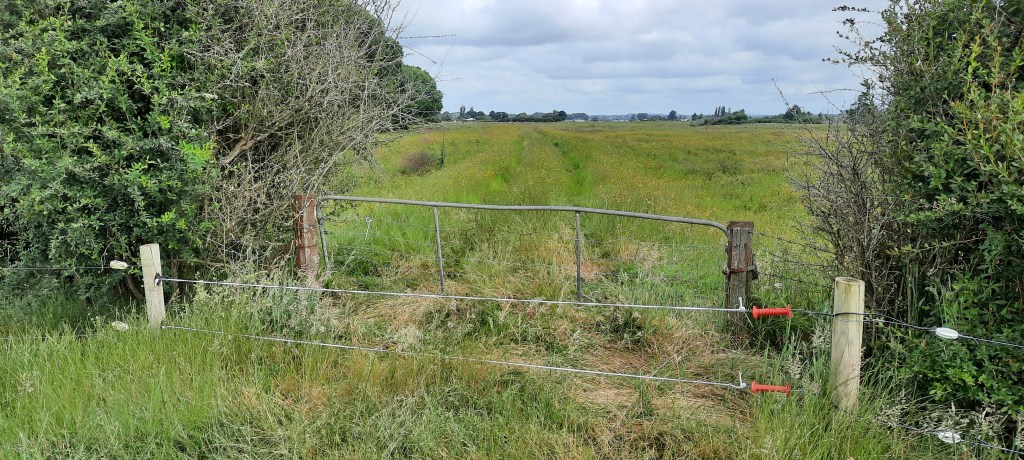
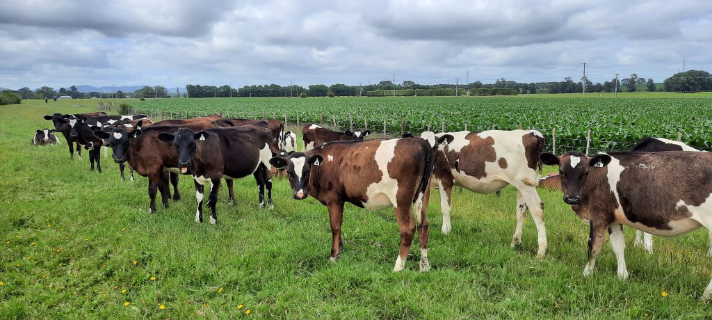
Today was a far better day than yesterday. I’m even writing up this blog before going back to do yesterday. Trail angel Dad drove me to Rangiriri for todays section. A morning coffee would have included a pie too however the pie shop (famous with TA hikers) is still closed. We travel over the Waikato River using the single lane Rangiriri bridge. When we lived west of here this was the way we travelled to and from the Coromandel peninsula for holidays. It holds fond memories this bridge. The trail starts just around the corner by accessing the stopbank via a stile or gate. Where possible I enjoy the unlatching and latching of a gate rather than hauling over a stile. The stopbank paddocks are being used for grazing, fortunately with friendly cows and even the bulls don’t seem to mind me traipsing through their turf.

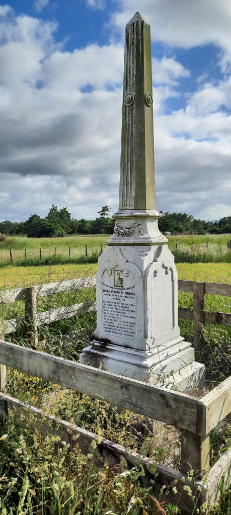
A short way along I see something quite unusual – a cream obelisk in a freshly baled paddock. Closer inspection identify it as the epitaph of Ngāti Naho chief, Meiha Wiremu Te Wheoro, whose personal history embodies the extraordinary stresses of colonial rule on Waikato Māori as they argued strategies to preserve tribal identity. Te Wheoro sided at first with the Crown. In 1857, he spoke against setting up a Māori king and, at the great conference of Māori leaders at Kohimarama in 1860, spoke again in favour of the Government. Governor Grey’s British troops invaded Waikato territory in July 1863. In November that year, the British Troops overcame the Māori redoubt at Rangiriri, forcing the Māori King, Tāwhiao, out of Ngāruawāhia to sanctuary around Waitomo and Te Kūiti. In the years that followed, Te Wheoro acted as an intermediary for the Government’s negotiation with the King. As a Māori MP over the next two decades, Te Wheoro witnessed Government decisions he saw as racist and finally became an implacable critic of the Native Land Court. He came to believe local self-government was right for Māori and in 1884, in company with Tāwhiao, he travelled to England to petition Queen Victoria for a redress of Māori land seizures.
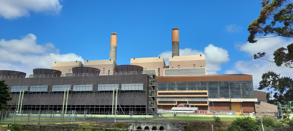
The quality of the stopbank walk varies considerably depending on the property it crosses. There are multiple gates to go through or electric fences to negotiate, or both sometimes. If the paddocks are grazed it’s speedy through the short grass but stepping around the cow poo is a necessity. No one wants crappy shoes. Mud is OK, poo is not. Then there was an annoying purple weed that only seemed to grow on the top of the stopbank and was a real pain to walk through. It was wiry and firm enough that it would catch on shoes and poles slowing down the proceedings. It wasn’t along the side of the bank, just along the top. Ah then bliss, arriving at the Huntly golf course. Mown lawns, smooth and well tended. Making sure not to get hit by any wayward golf balls or was a pleasure on this section. At the end of the fairways I caught up with another TA couple, Sophie and Baptiste from France are doing the thru-hike. Again TA hikers that I met for the first time. We had a quick chat then I was on my way, admiring the massive magnolia tree with its equally impressive blooms. Following the road for a few km I arrived at the Huntly power station. The 953MW power station is New Zealand’s largest by capacity, operating mainly on natural gas and coal. It can supply 31% of the country’s electricity. Commissioned in 1983 its two 150m tall chimneys are iconic for Huntly.


Opposite the Huntly power station there is a nice little park hiding a plaque carved with a taniwha and a greeting from Tainui.
It reads Kia tūpato kia pai tō hīkoi – Walk the path in safety
Me te titiro whānui, kia koa – Look deeply and learn
Ki ngā taonga kei mua i a koe – From your surroundings.
Also hidden from sight, is a modernist sculpture – an immense and strikingly Maori figure – with poupou standing up from a reflective pool. This depicts the 1995 settlement of a grievance dating back to the 1860s when the largest land confiscation of any tribe was imposed on Tainui.


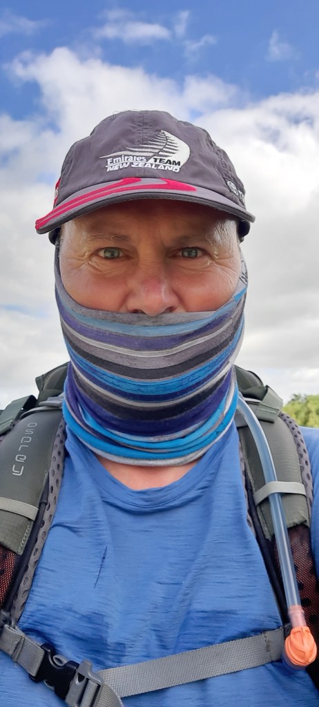
I’ve arrived in Huntly, my birthplace. It says so on my passport. The maternity hospital is now a hotel. Maybe I could stay overnight sometime in the same room I was born! Huntly is not known as being particularly salubrious, especially Huntly West, through which I’ll walk. I draw up my buff to cover my face a la gangsta style. Hiker version. I’m wearing a lot of blue. I wonder if that signifies a particular gang colour? This could get outta hand. Or do I simply look like a member of the Nats gang? Judith would be proud.
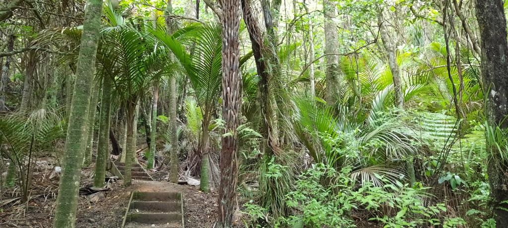
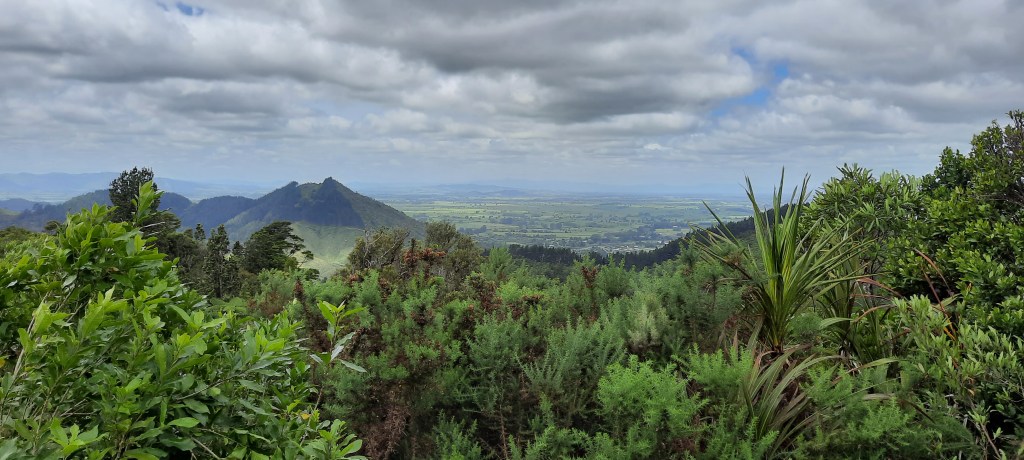
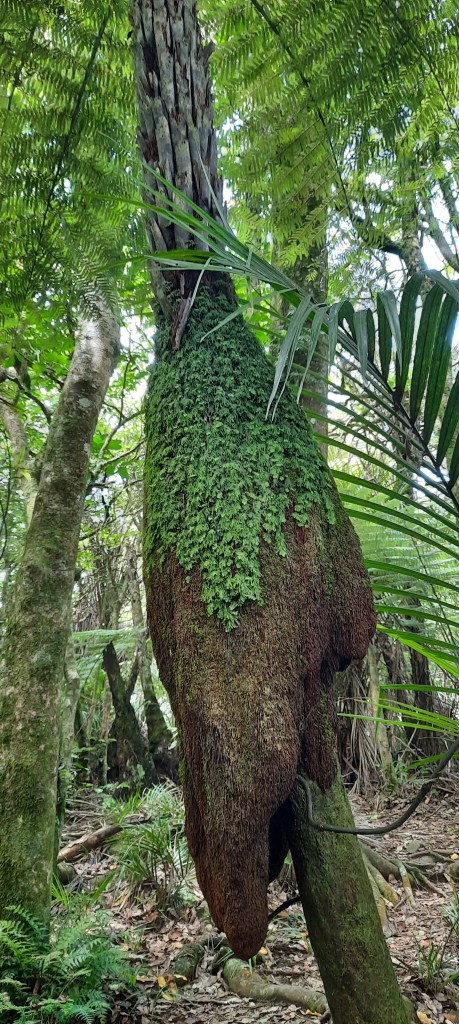
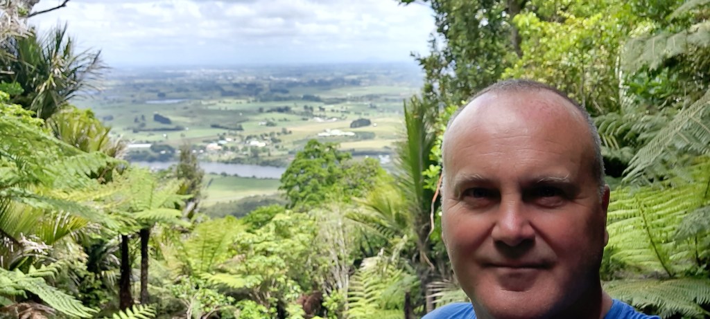
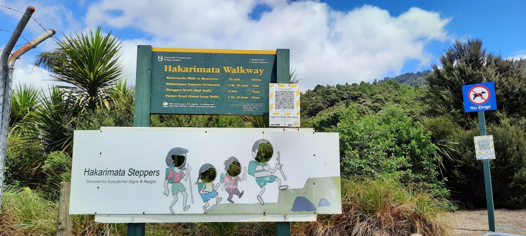
My dear friend Pare arrives to pick me up for lunch. We worked cruise turnarounds together for many years in Auckland. It is wonderful to see her again, especially looking so healthy and happy. Pare treats me to lunch in Ngaruawahia (Breaking bread cafe) which is excellent and what a treat for me to have a cafe lunch whilst walking. Later she drops me off at the bottom of the Hakarimata range. Hakarimata’s name derives from a 17th-century feast, when Ngāti Maniapoto joined the local Waikatos to celebrate the birth of a child. There was a mountain of raw forest foods; hence the name Hākari-kai-mata (uncooked food mountain), condensed to Hakarimata. These days the Haks are known for the stairs, the arduous climbs, the fantastic bush and widespread views. There are kauri growing at their southern most limit and kereru galore getting fat on fruit of native plants such as miro, tawa, taraire, kahikatea and nikau. It’s a sustained slog up 1,500 steps up the mountainside to reach the upper lookout and a further 30 minutes on a hiking track to the southern lookout. The views are rewarding. I particularly enjoyed the view north overlooking the Waikato River, Huntly and on a clear day Moehau on the Coromandel peninsula.
Tomorrow I’ll walk Te Awa (the river) from Ngaruawahia to Hamilton.

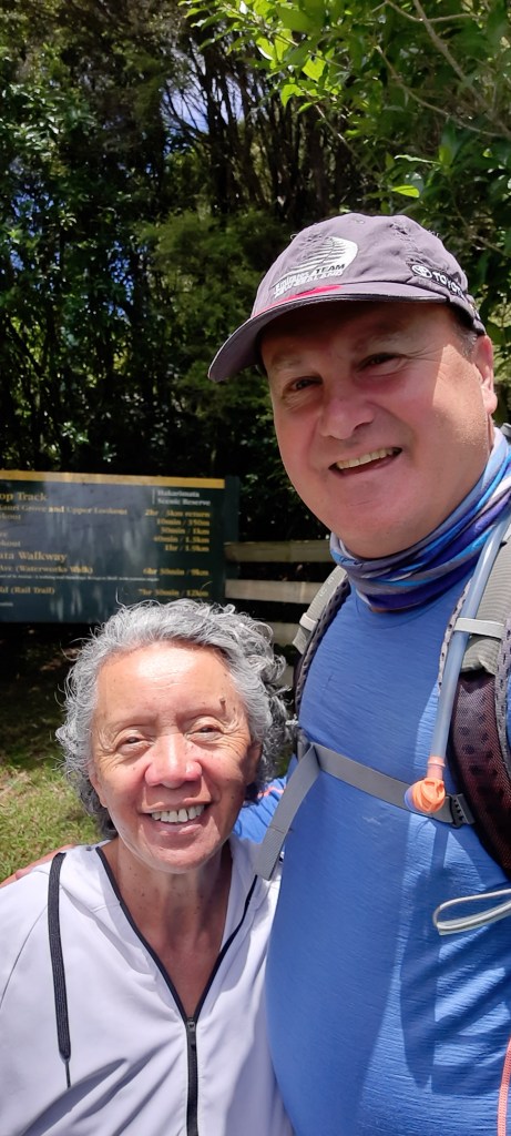


Nice to see Pare again. Gosh she was a hard worker at Shed 10. Always smiling always a nice word to everytone.
LikeLike