Thurs 07 January – Day 54
19.4 km
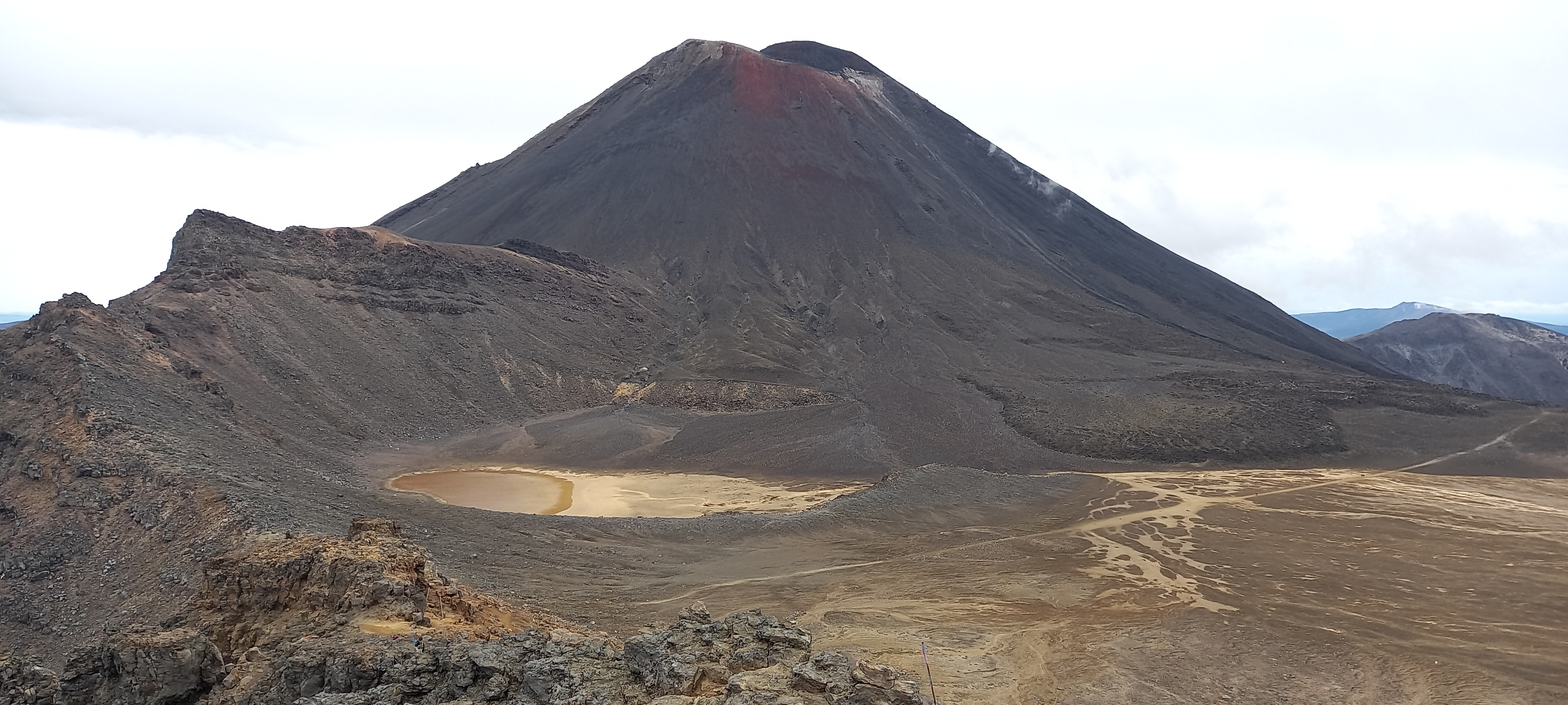
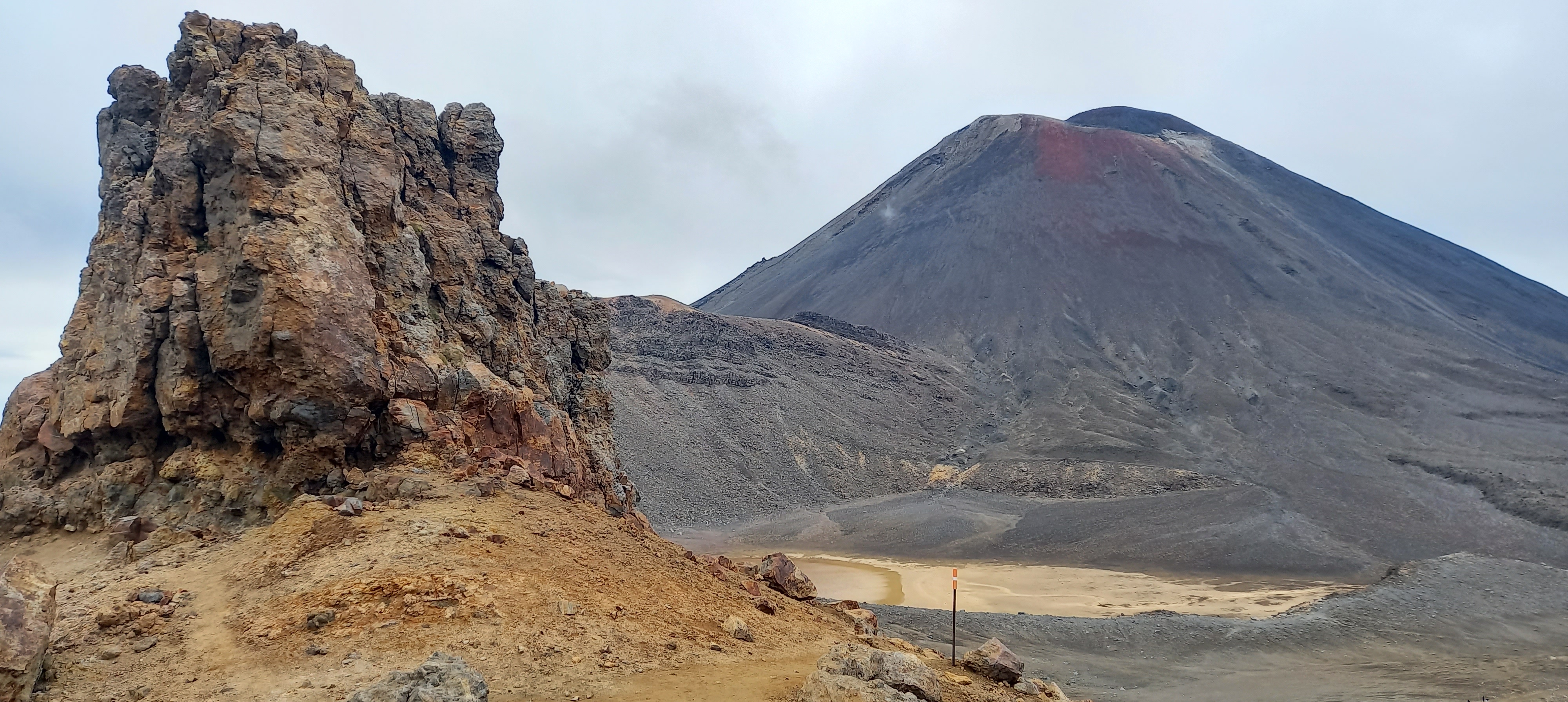
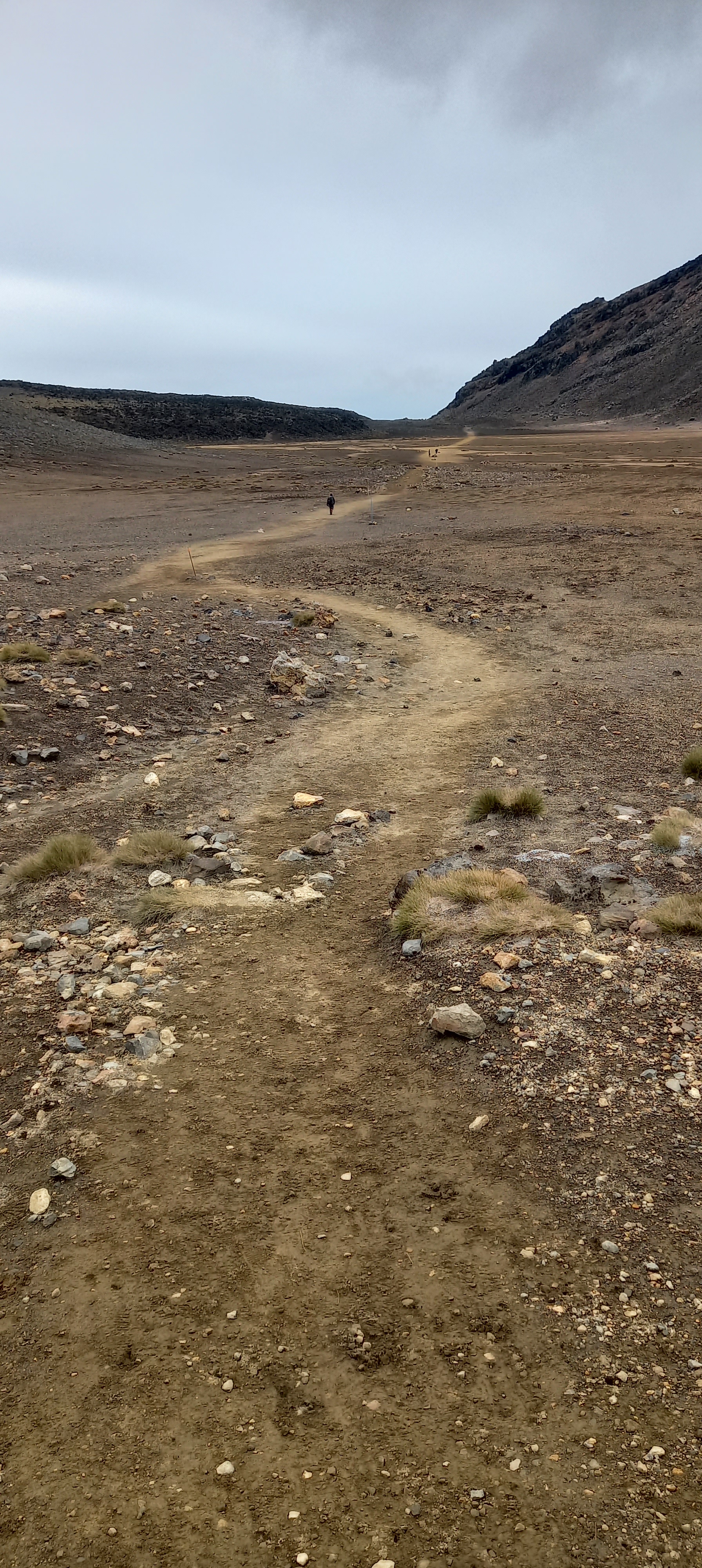
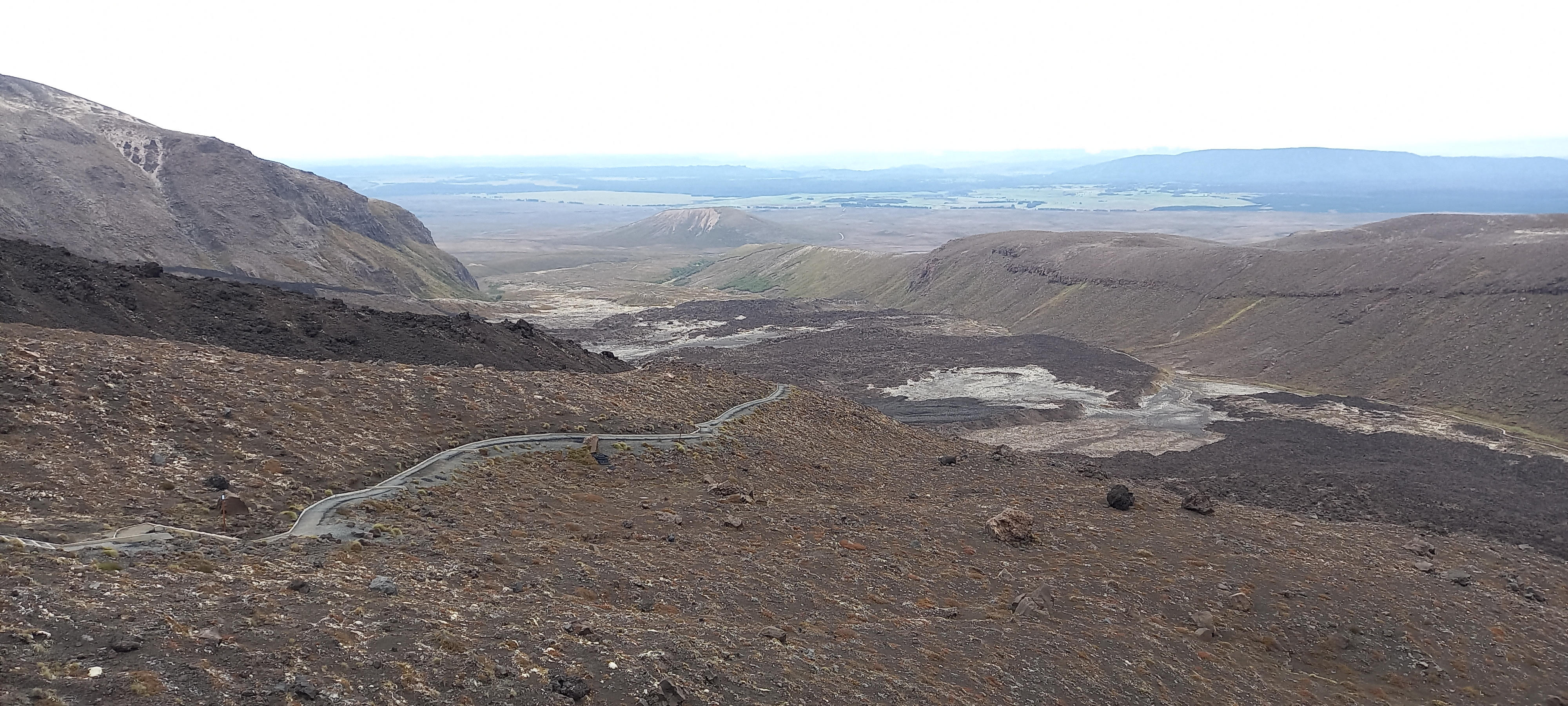
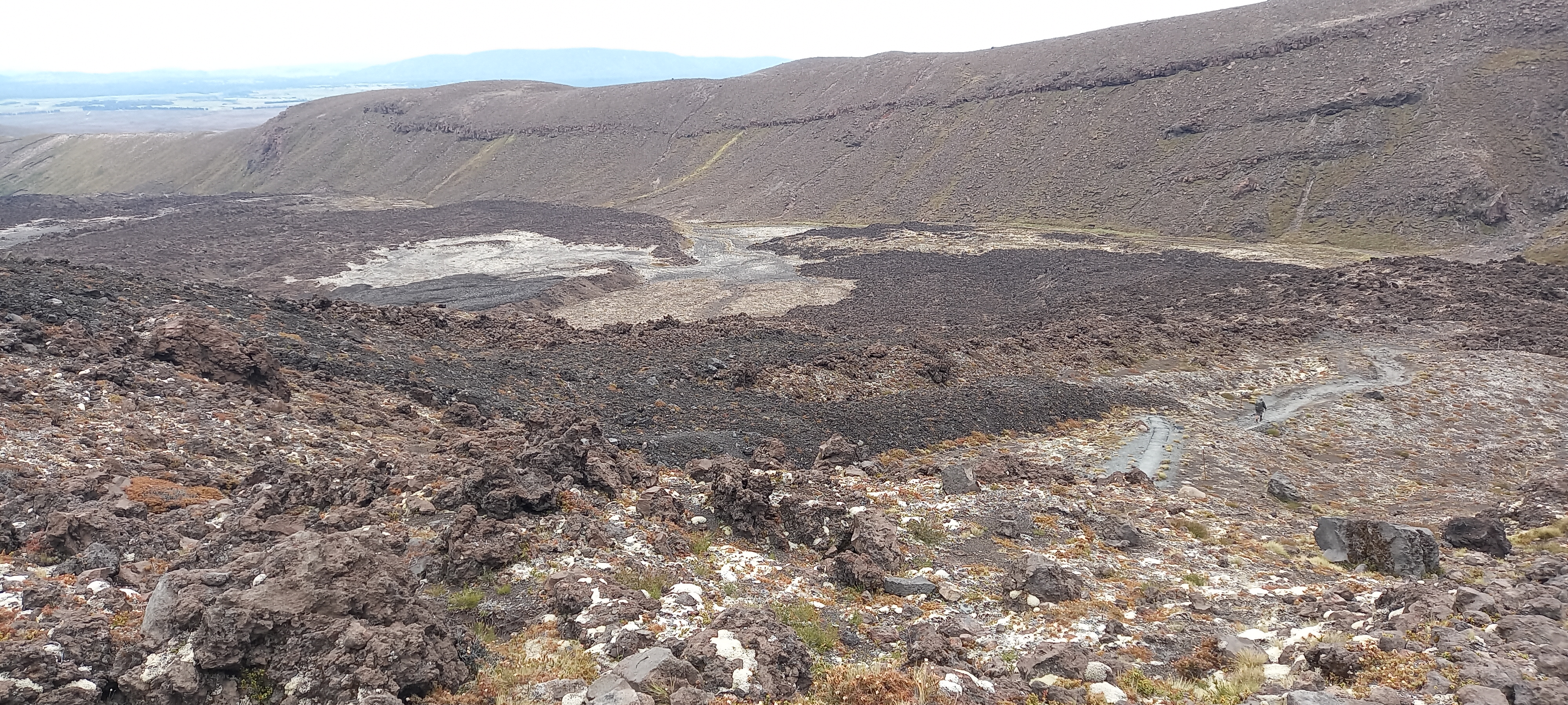
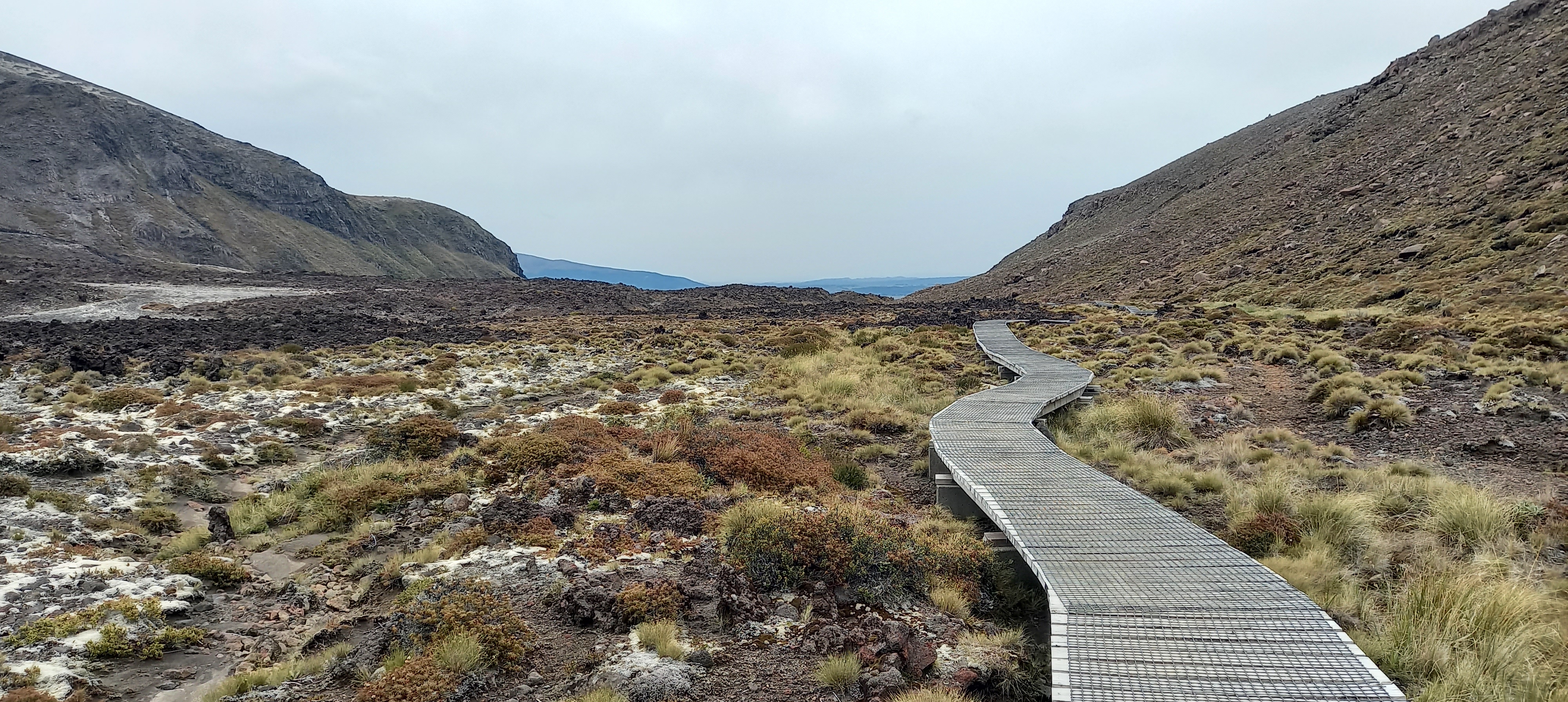
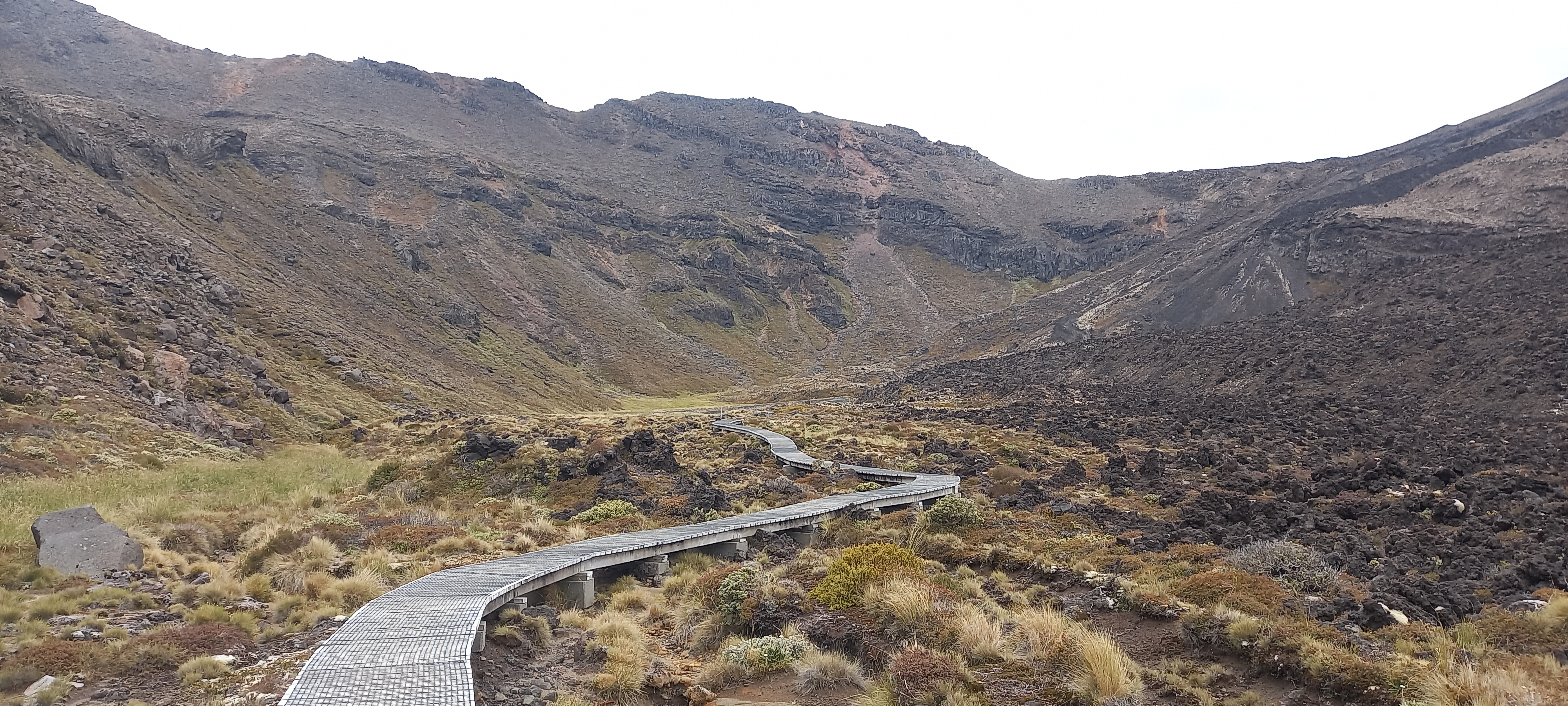
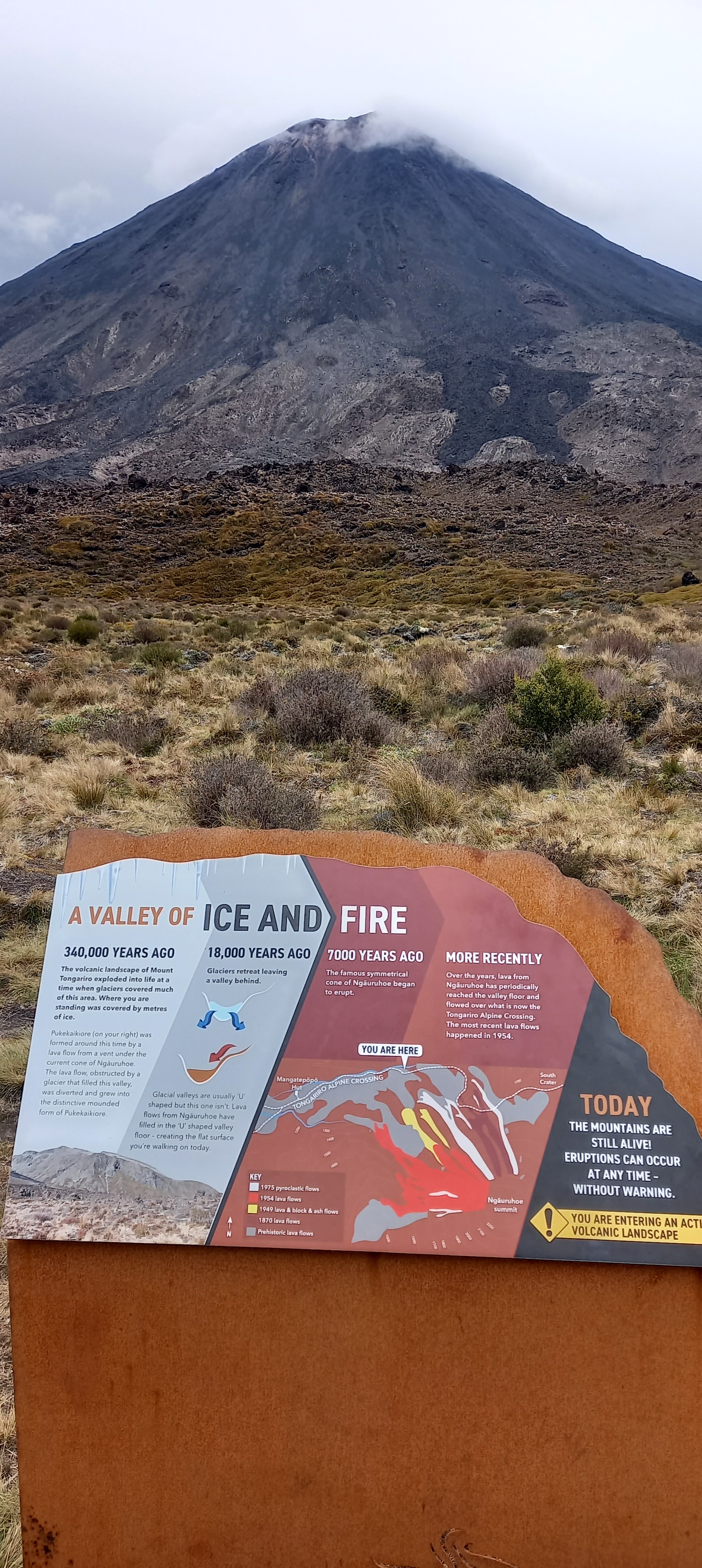
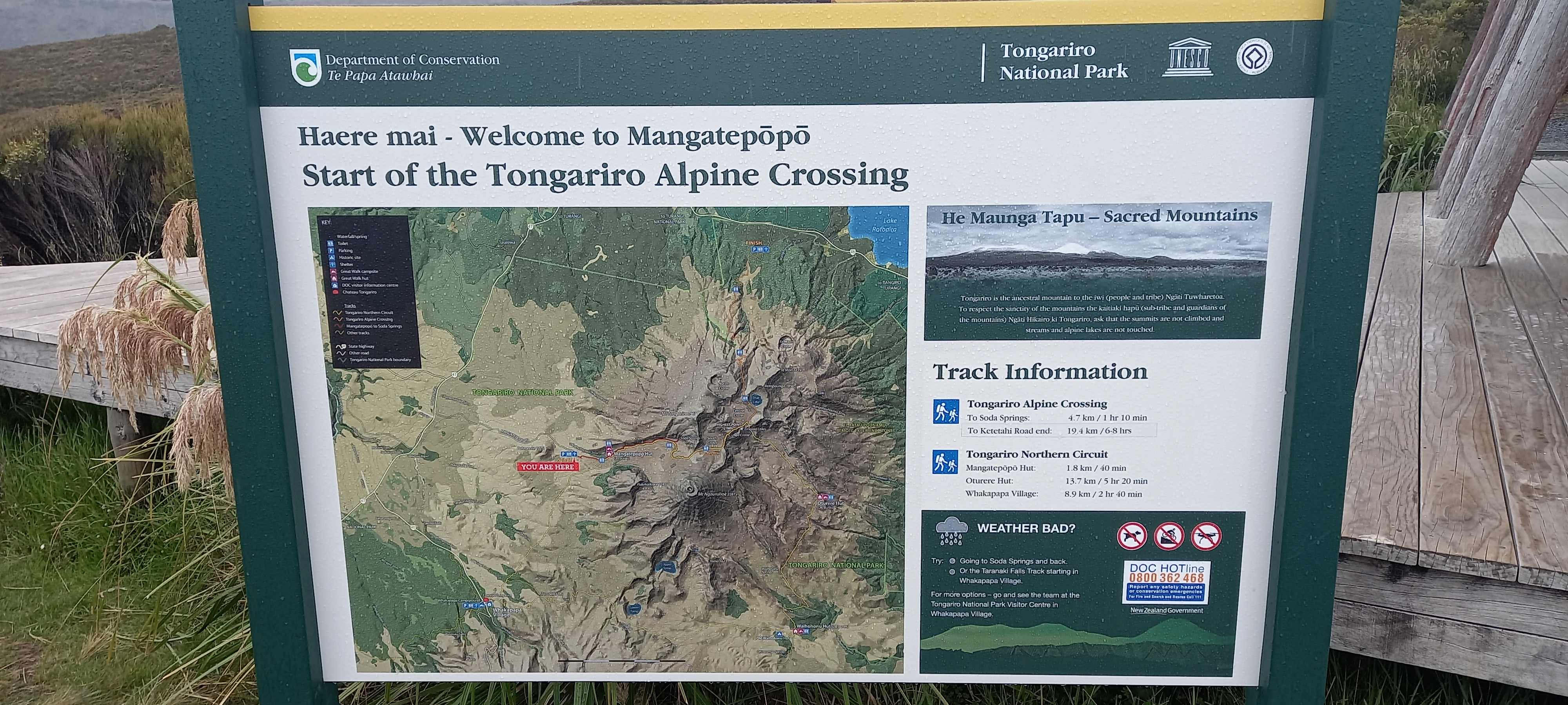
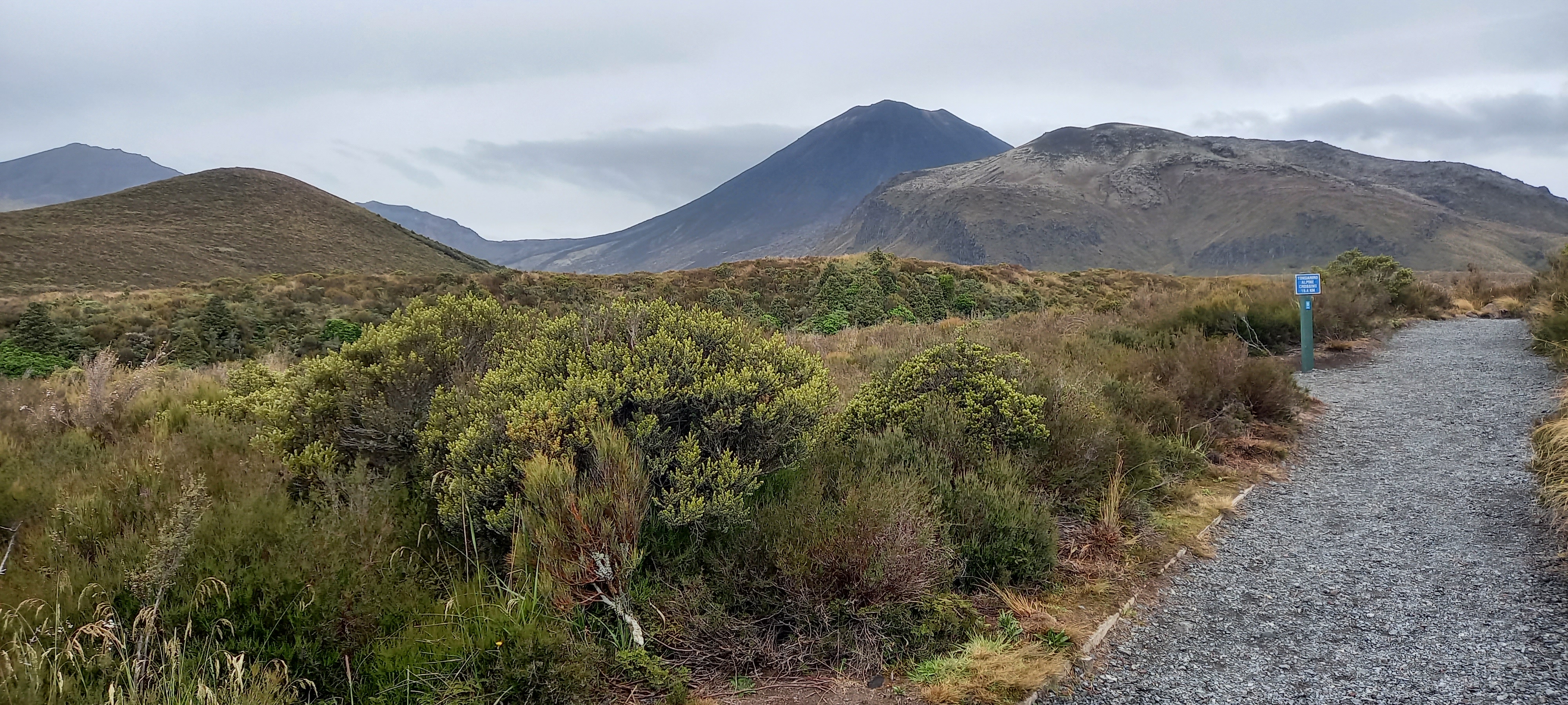
Our group of six hikers have different plans for reaching Ketetahi, the start of the Tongariro Crossing. Michael and Francesco have secured a ride with a couple from Wanaka. Seth and Peter are walking the 7.5km along the road. Dean and me are happy to hitch this bit. Greg at the Holiday park has said to be on the road between 6:50 and 7:15am when the Crossing transport comes past. I do this and sure enough a van pulls over. It is not the transport operator I had in mind however James is the owner operator of Active Outdoor Adventures based in Turangi. His point of difference is his local ancestry and cultural connection he imbues his clients with including a karekia. We wish him well at the Ketetahi carpark and set off through the bush. For those doing the Tongariro Crossing proper this is the end of their day. For those of us doing Te Araroa SOBO (South bound) we walk the Crossing in reverse from Ketetahi to Mangatepopo. It will be interesting to see how many are walking this Great Walk today. Pre-Covid there were reports of up to 5,000 people per day making an ant trail across. Thankfully we won’t be seeing anything like those numbers today. It’s fairly flat for a start and we see beech trees for the first time on the trail. Soon however the track climbs to the bushline by a seemingly endless series of stairs. Luckily we are somewhat stair pros these days and well under an hour we have cleared the bush and reached the first lookout (and second set of toilets). I believe there are 8 sets of toilets in all, just in case you are wondering. Or worried. High cloud keeps the sun at bay making for a comfortable morning to climb yet allows for widespread views of 180 degrees. Through the alpine tussock the track ascends mostly in zig zags gaining elevation to the site of the former Ketetahi hut. It was pummelled by ballistics from the 2012 Te Maari eruption and removed afterwards. Ketetahi springs are now closed to the public but can be seen steaming in the next valley. A cool westerly wind keeps us from dawdling long at Ketetahi and we push on zig zagging again for further altitude. The first passersby we encounter here – they are running… From this side we can see steam rising from the Te Maari crater site and the location of the lake which caused the subsequent lahar. Three hours after starting we have reached the top at the blue lake. We pass Chris and his partner (from Wanaka) and have a quick chat then around to the blue lake where we all stop for lunch. My usual tuna sachet is supplemented with fresh pineapple chunks and a nectarine plus orange juice which I can guzzle gleefully having got this far.


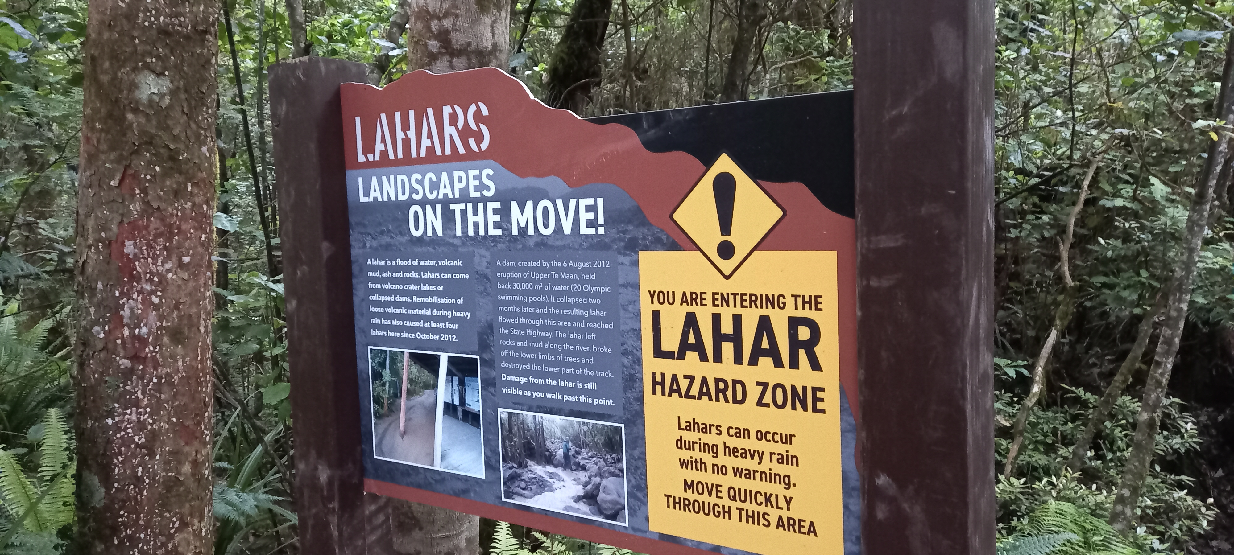


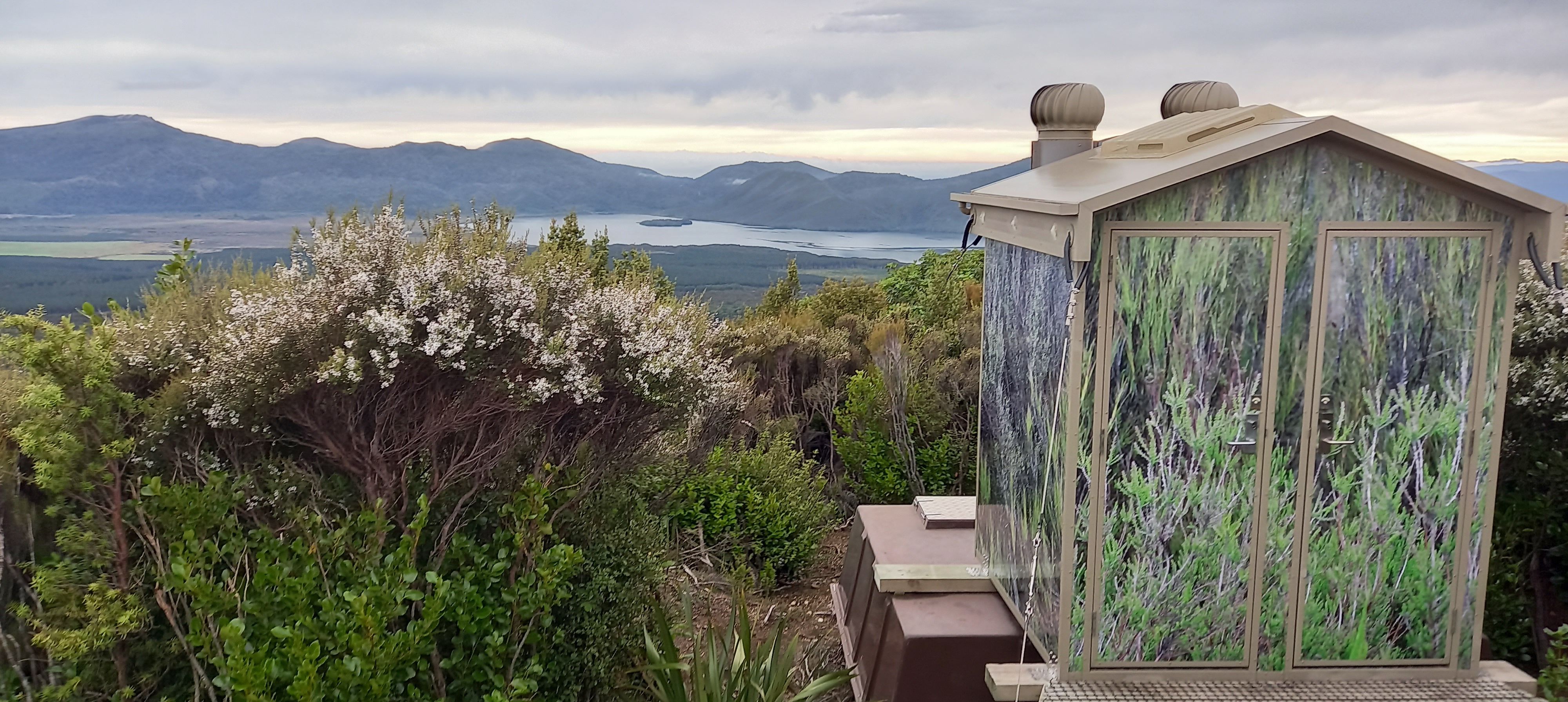


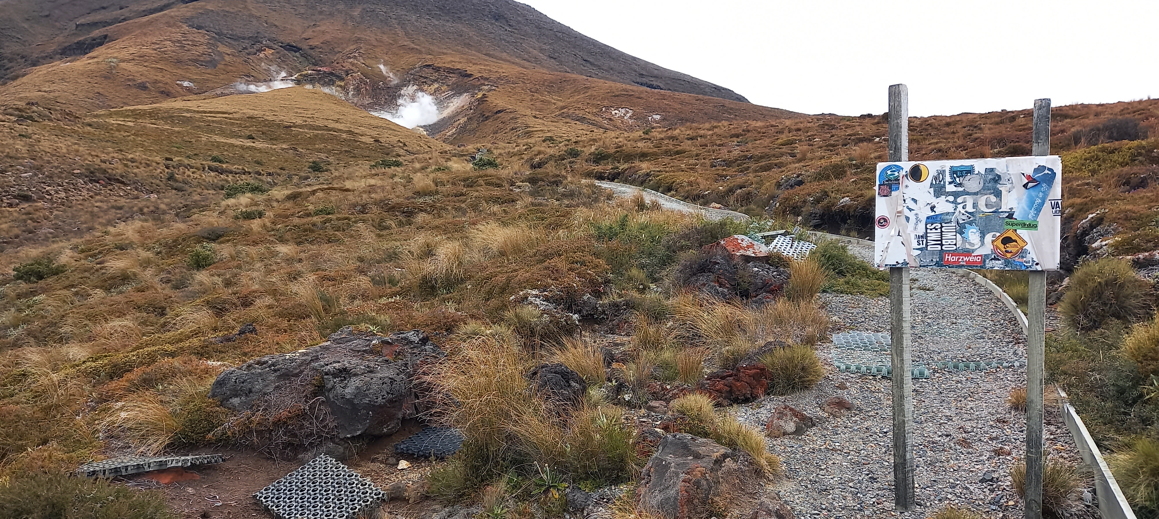


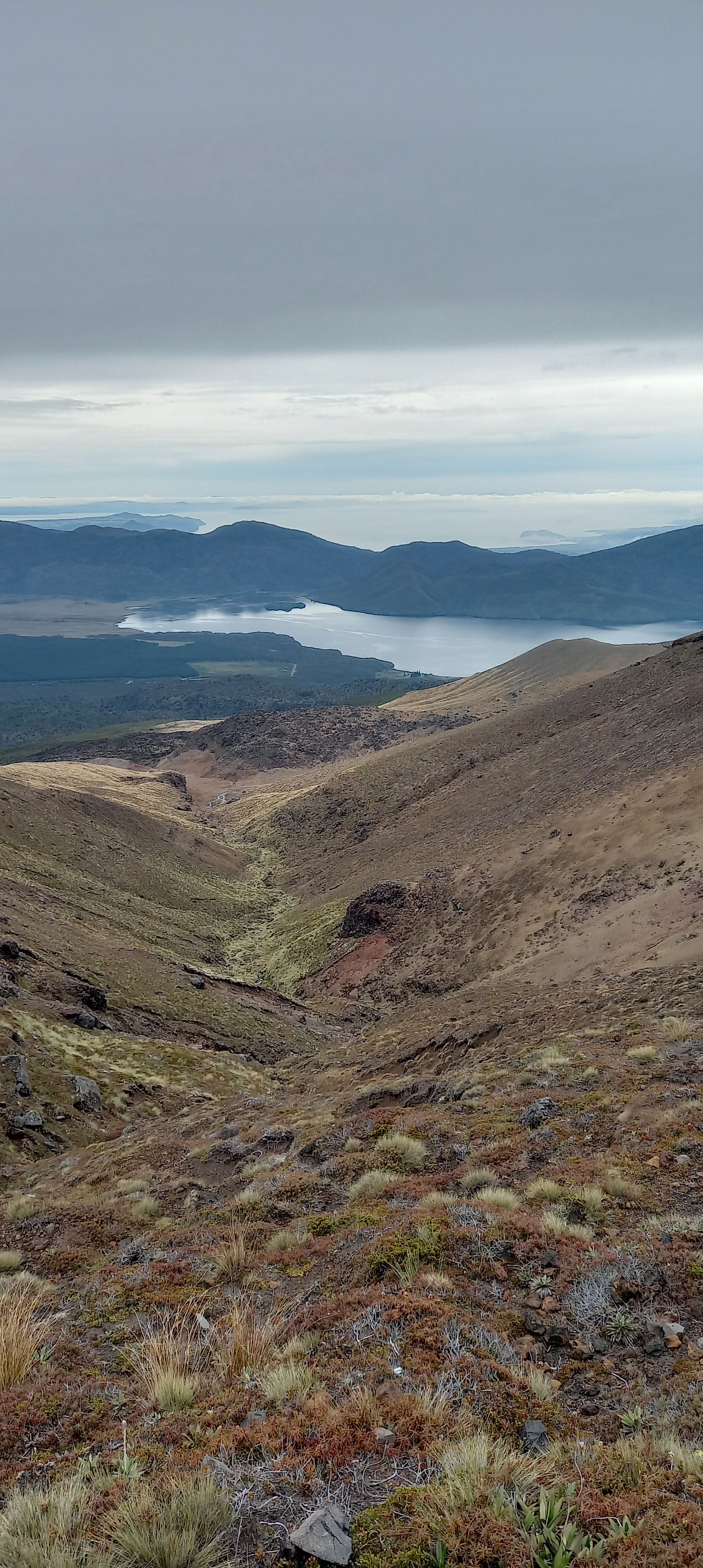


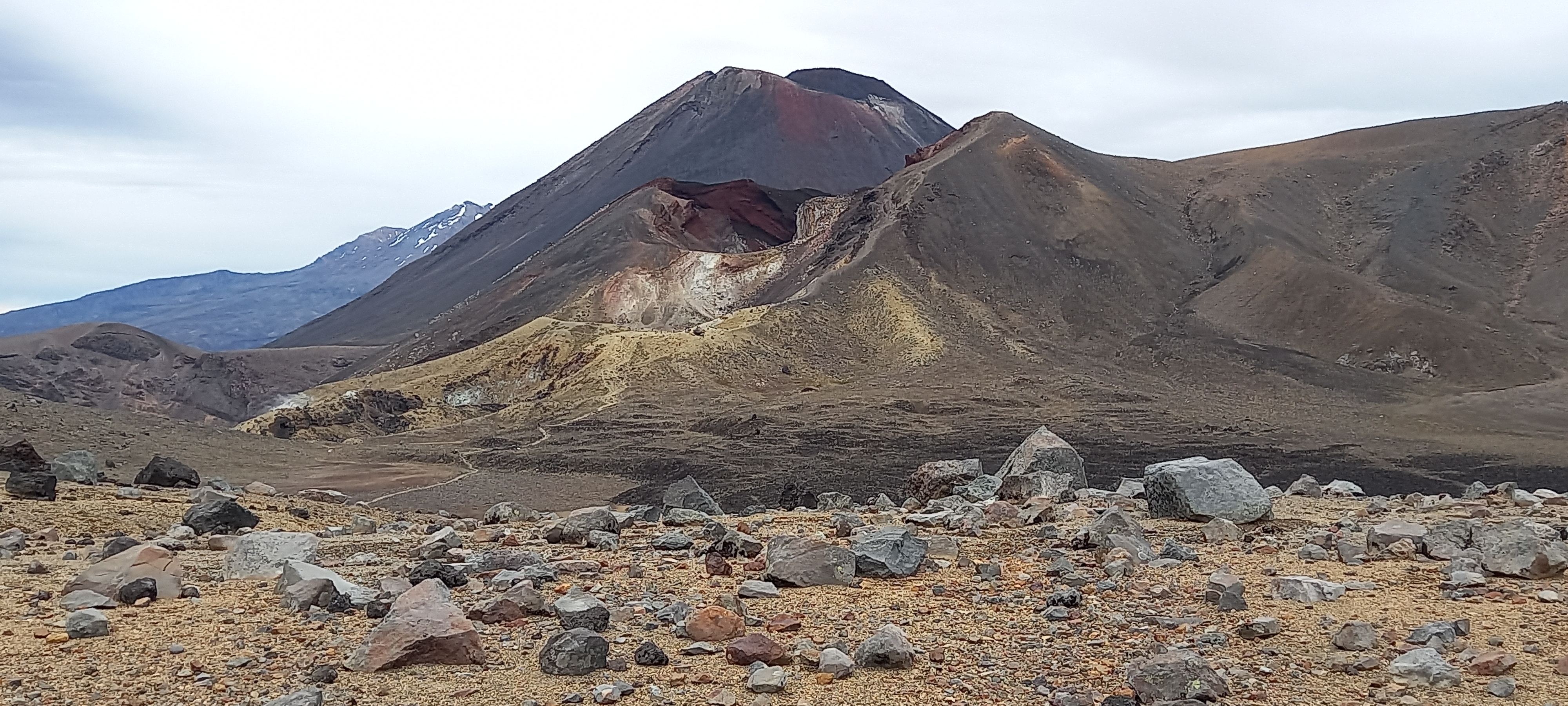

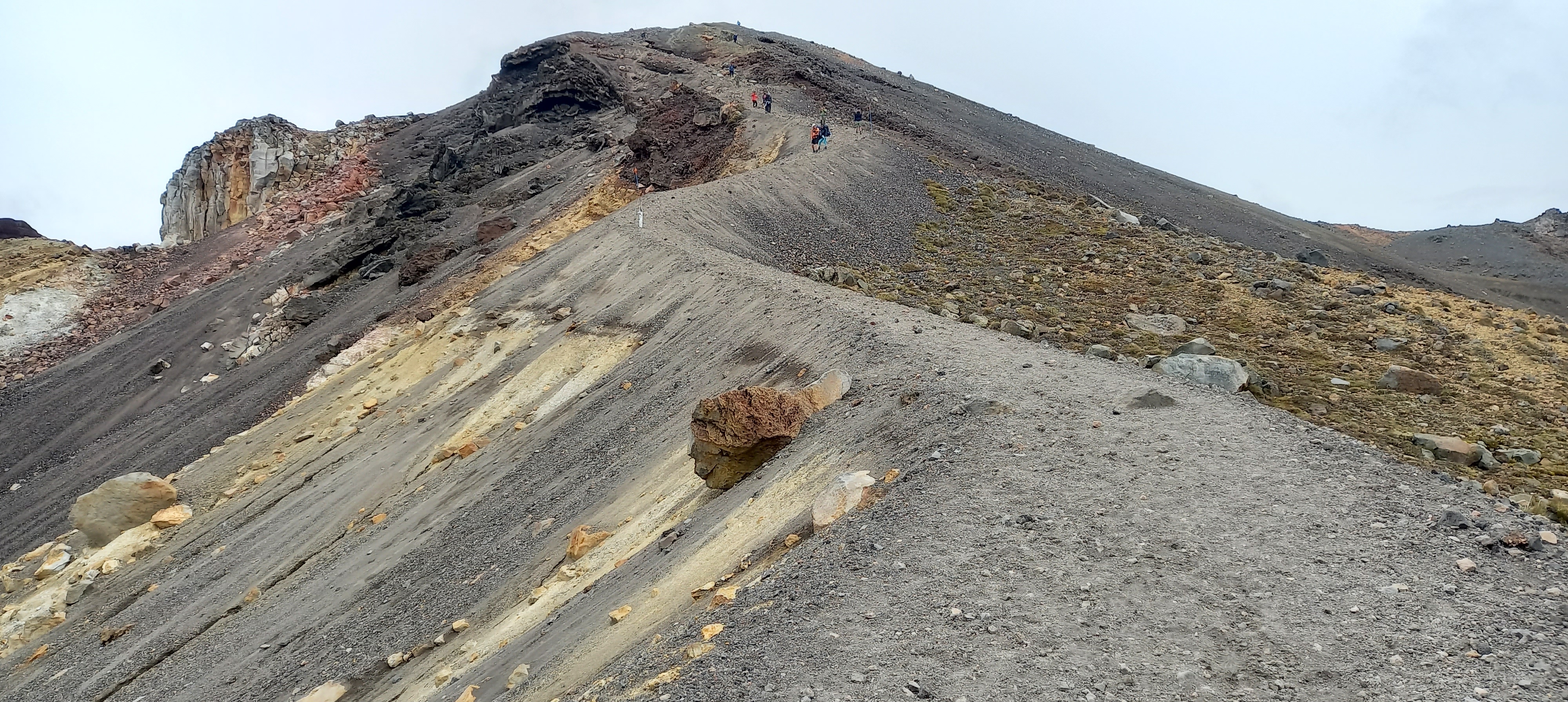
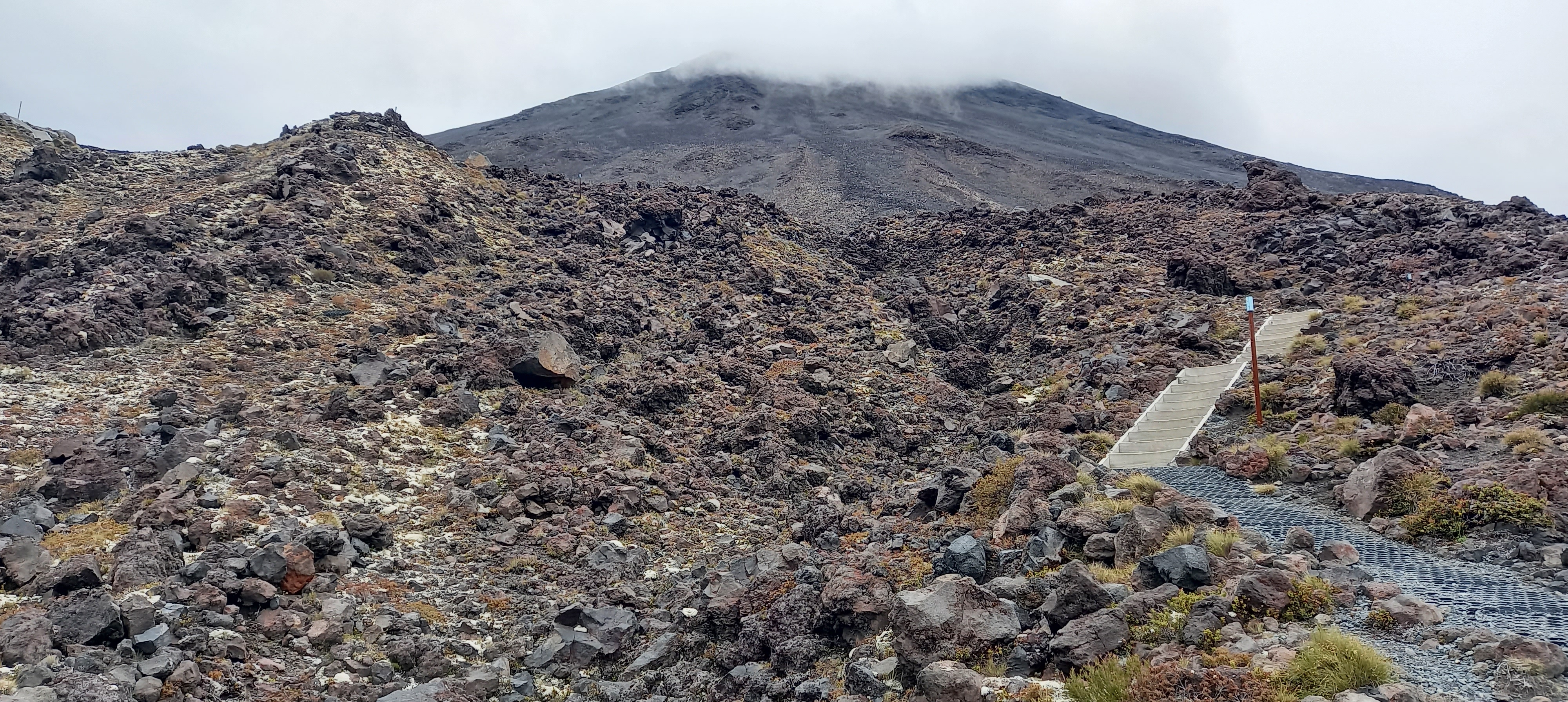
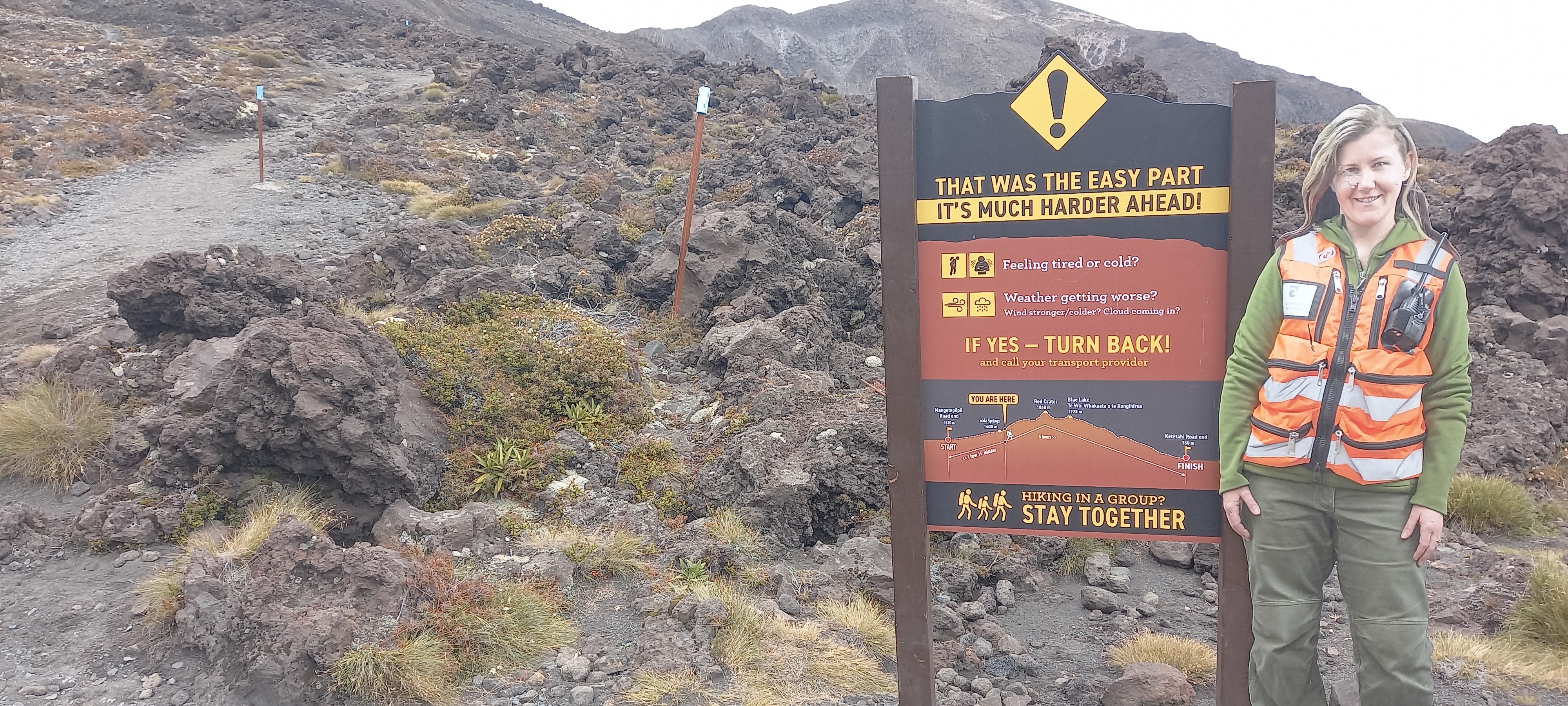
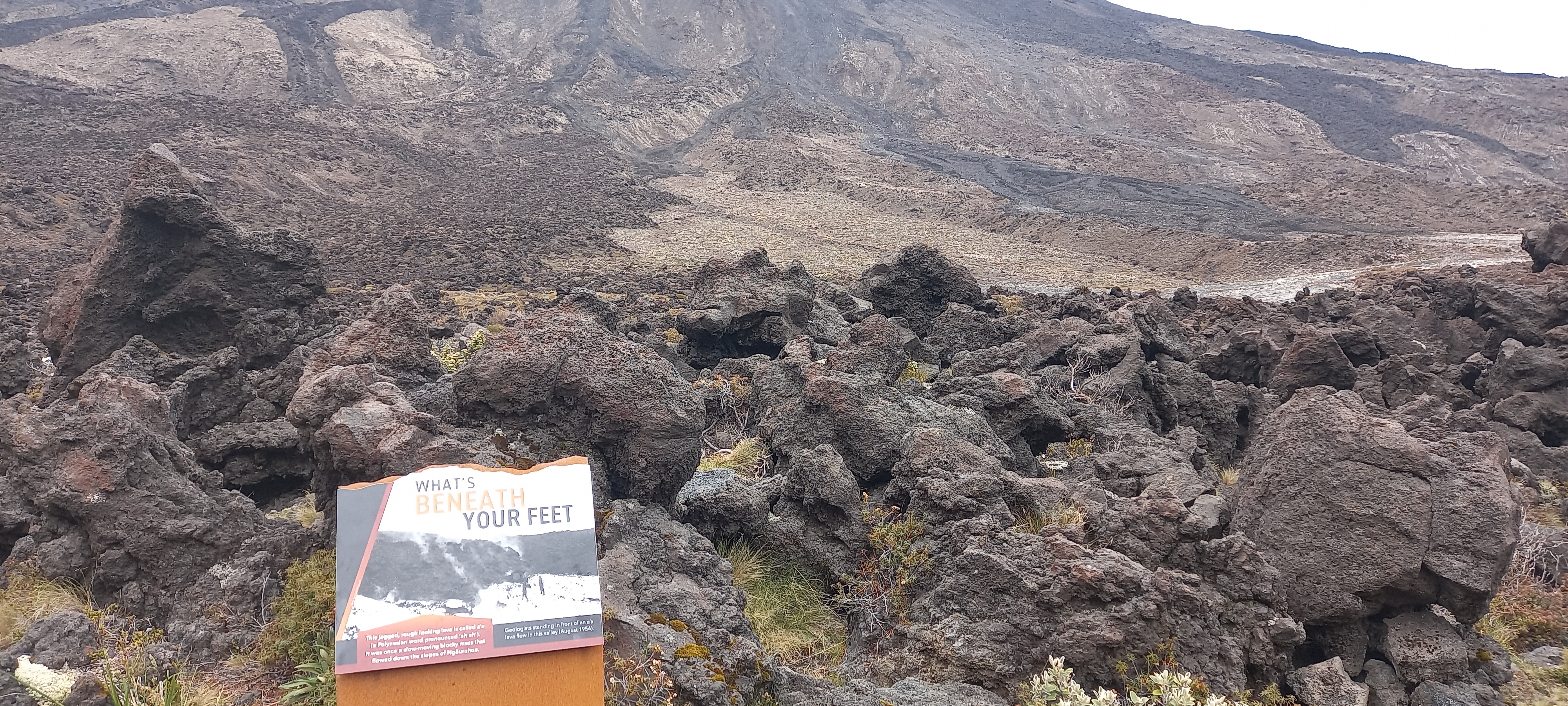
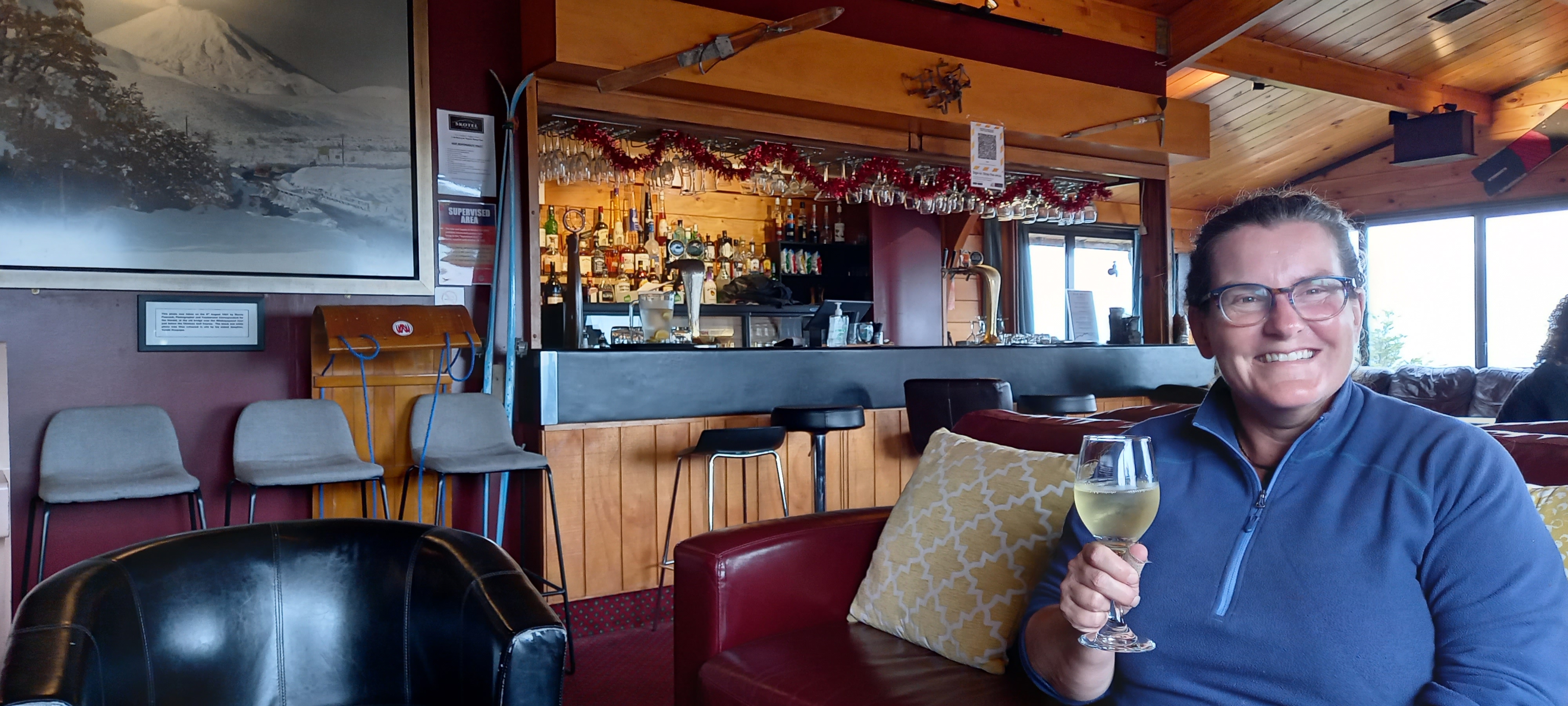
As we lunch more day walkers are passing by towards Ketetahi. By the Blue Lake we’ve passed 40ish and many more are appearing in the far distance. From the blue lake the track descends onto the centre crater floor and crosses to the far side. A junction here indicates the Tongariro Northern Circuit off to the left and for us we have a steep scree slope to climb. The day walkers are coming down in droves. Some are carreening down with confidence whilst others take it gingerly. Some will turn back at the highest point and return to Mangatepopo. Scree is not the easiest way to climb, one step forward, one slide back. Inching up the slope while watching the path chosen by those descending. Often people wanted to stop for a chat which was always fun and gave me a breather. One guy was running down the slope. He had done Te Araroa a couple of years ago. His girlfriend I also stopped to talk with – further behind and walking. Once at the highest point at 1868m above sea level, my stop was brief as it was quite chill. The puffer jacket was donned and after some pics of the summit and red crater I followed Dean Michael and Francesco down to the south crater floor, in the shadow of Mt Ngauruhoe. I had climbed Ngauruhoe back in the 90’s when it was still allowed. Looking at the steep angle of the mountain I wondered how I ever did it. Could have something to do with me being in my early 20’s at the time. Another thing that has changed since my last crossing was it became a Great Walk. To comply with Great Walk requirements the Devils Staircase was considered too steep. I remember it literally being a devil of a climb. Nowadays there is an easier graded track easing up the mountain with some stairs. This northern side of the track is in good condition whereabouts the Ketetahi side needs attention to fix and replace the plastic ground cover. I don’t know why DOC are not taking the opportunity to fix this Great Walk track whilst it is quieter? Near Soda Springs is an apparent sign cautioning walkers of the changeable alpine conditions and to be prepared or turn around. Despite at least three such cautionary signs between Mangatepopo and the South Crater we still passed people who were not prepared for today. Bare minimum clothing and completely the wrong footwear. Despite the signs people are idiots for not being prepared nor heeding the signs. All up there were around 250 people doing the Crossing today. Dean and I reached the Mangatepopo hut by 1:30pm. He had booked a camp site but as it was so early decided to flag that idea and walk through to Whakapapa instead. It would be another nine km and take him two hours. My friend Marg was meeting me at Mangatepopo and fortunately she was early as I was too. We drove around to Whakapapa and got me settled in at the Whakapapa Holiday Park which does a backpackers bed for $20 for Te Araroa walkers. A tent site is $19. A drink at the bar at Skotel, where I used to work, and dinner at the Whakapapa Tavern rounded out a fantastic day doing the Tongariro Crossing and a great catch up with Marg. It rained tonight. I’m glad I’m not in my tent!
Tomorrow – walk to National Park then hitch to Taumarunui


Mark, what an adventurous few days. So sorry about your phone.
Photos still look great so feel you should be taking credit for those rather than expensive phone.
Did see Danielle’s post of waterproof bag for your phone…. do hope it is now safely in one?!
Good that you are ‘in working order’ and able to keep up with the millennials. Absolutely sure you would out walk both Alex & Angus!
Loads of love xxxx
LikeLike