Mon 13 March 2017
- Km today: 13
- Total Km: 914
I am desperate to do some walking while in Wellington. As I am staying very close to the end of the Te Araroa trail for the North Island I can walk the trail from Island Bay into the Wellington waterfront. The insistent rain has abated for now so I can put in some kms today. Once I return here from the south island this part will already be ticked off. Win win I say.
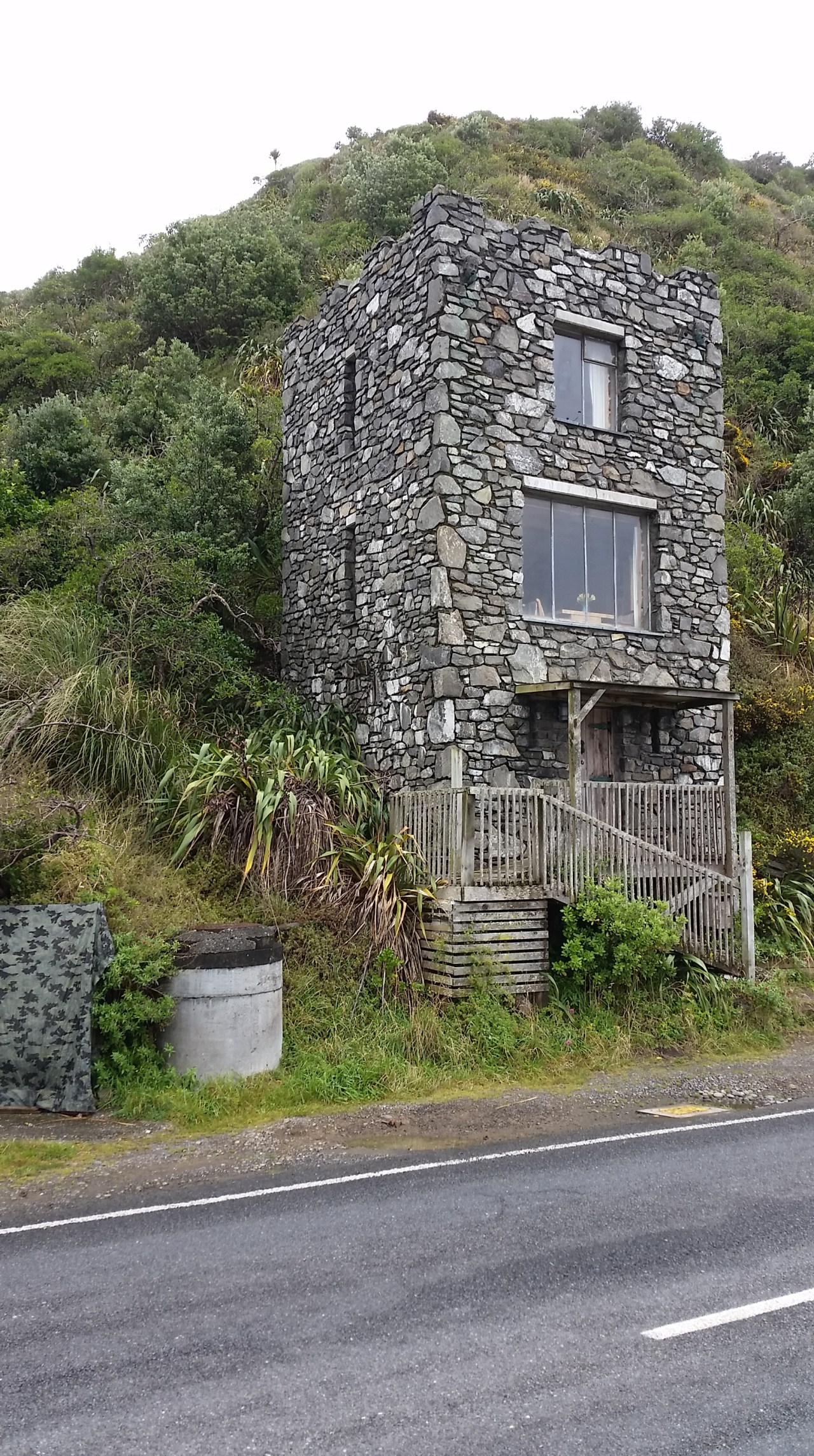
I can see Island Bay, I just need to find my way down the hill to it. Sounds easy however with such steep hills many of the roads are dead ends. I think I see my relatives previous house on Melrose Road however it has been so many years since I was last there that I could be well imagining it’s the same house. There is a man at the bus stop shop I ask him for directions down to Island Bay. He doesn’t really know which I find somewhat unusual when you live directly above it. Maybe he has never walked down? His phone beeps and I can see that he has a meeting at 9am – with no bus in sight yet I do wonder if he will be late for that one. So I follow my nose and with some help from google maps inch my way down to Island Bay. It is quiet at this time on a work day. The fishing boats are at anchor in the sheltered natural harbour and apart from a mum with a push chair, it is just me to take in the surroundings.

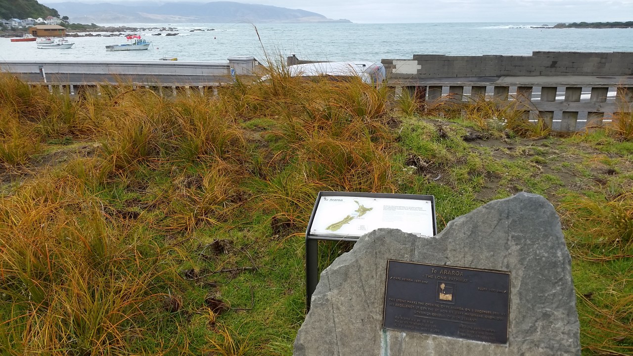
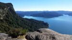
A plaque and a map commerate the completion of the Te Araroa trail in 2011. It also is the most southern point of the North Island portion of the trail so the appropriate place to start my walk north into the city. There are many walking and cycling trails in Wellington and this one is called the Southern Walkway – I will be following its red markers rather than the usual orange TA ones. The trail follows the road east along the rocky shoreline past colourful eclectic homes and gulls struggling against the intermittent gusts of wind. The spray from the waves is carried over the footpath and I often have to dance around the salty water. Keeps me on my toes. There is only a little traffic and few walkers so I have the trail to myself mostly. I pass a propeller from the decommissioned HMNZ Wellington which was sunk off this coast in 2001 to become a dive site. From here the trail turns inland and climbs towards the town belt, a tree lined ridge of low mountains which end at Oriental Bay.


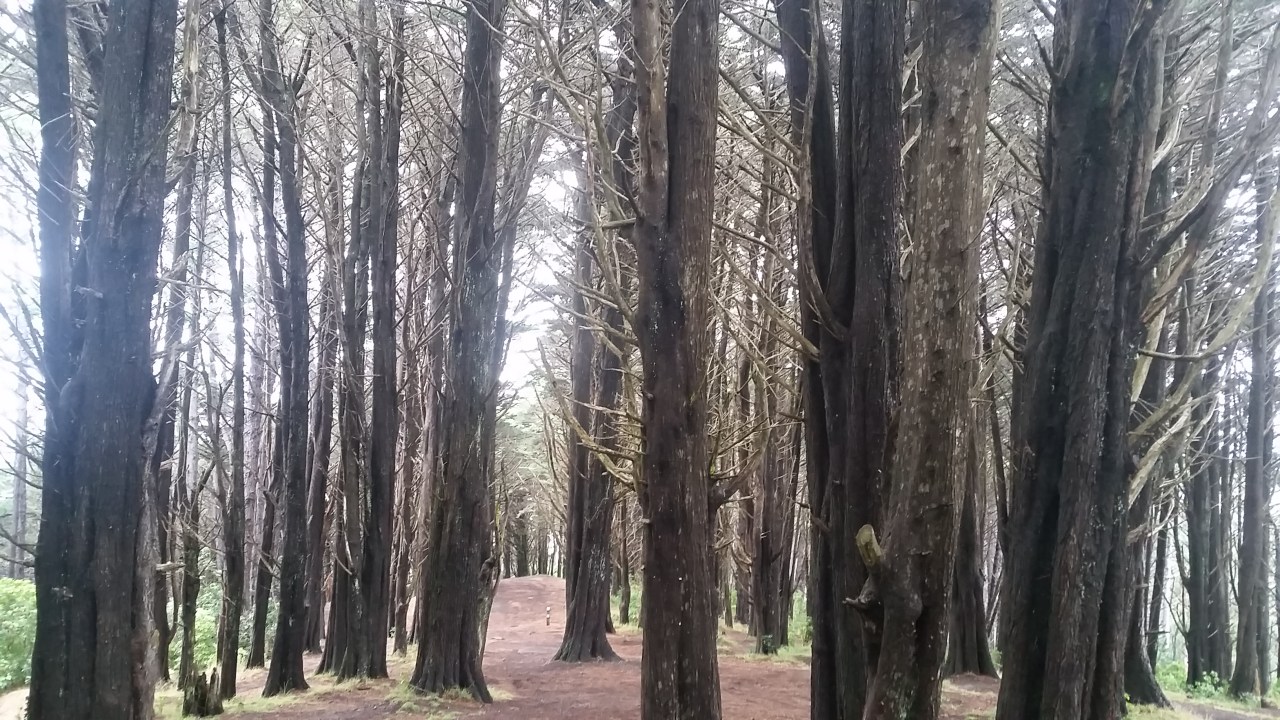
The first coll has underground water tanks and offers great views east to the Wellington airport. The wind had dropped off by this time so there is no fun in watching the wobbly take offs and landings of aircraft. At one point the trail circuits the Wellington Zoo and gives a free view of the gorilla cages from behind the mesh fence. The trail also passes the historic home of Sir Frederick Truby King who foundered the Plunket Society in New Zealand way back in 1907 and built the Karitane hospital here. The house can be visited by appointment however the brickwork used in the driveway and garden paths are impressive enough for a casual visit. On the far side of the property the track passes through an exotic pine grove – the noise from the cicadas was deafening. Onwards towards Mt Victoria and the drizzle started, lightly at first however increasing quickly in intensity. I was so pleased that I had brought my rain jacket as I would have been saturated otherwise. It wasn’t long before I was coming down off Mt Victoria and heading into the gorgeous calm of the QT Museum Wellington hotel.


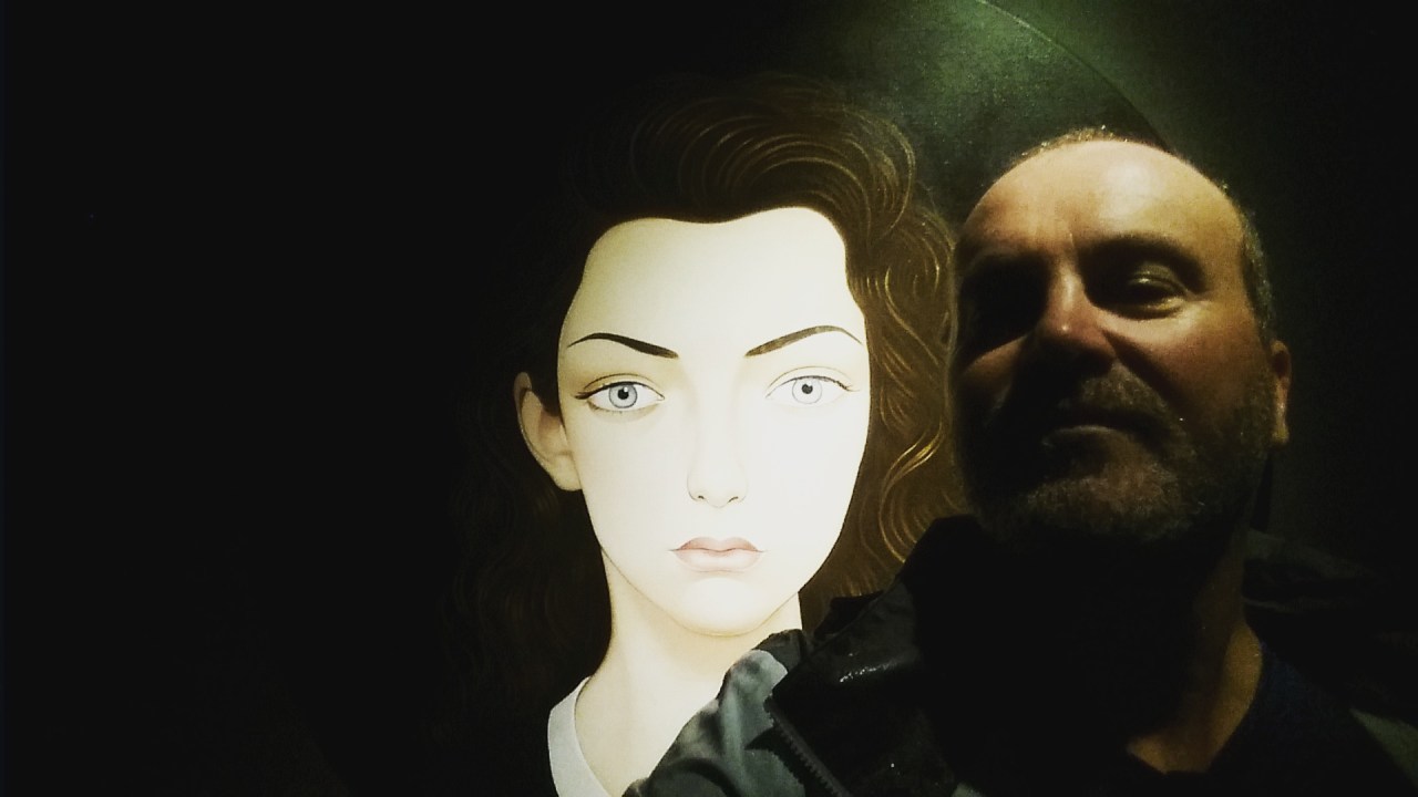
Selfie with Lorde


Leave a comment